Marker Logo HMdb.org THE HISTORICAL
MARKER DATABASE
“Bite-Size Bits of Local, National, and Global History”
Magalia in Butte County, California — The American West (Pacific Coastal)
 

Magalia Community Church / The Magalia Schoolhouse Bell


Upper Marker - Magalia Community Church image. Click for full size.
Photographed By Syd Whittle, April 8, 2010
1. Upper Marker - Magalia Community Church
Inscription.
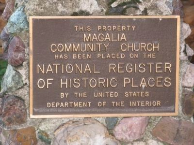
[ Upper Marker ]
This property
Magalia
Community Church

Has been placed on the
National Register
of Historic Places

By the United States
Department of the Interior

[ Lower Marker ]
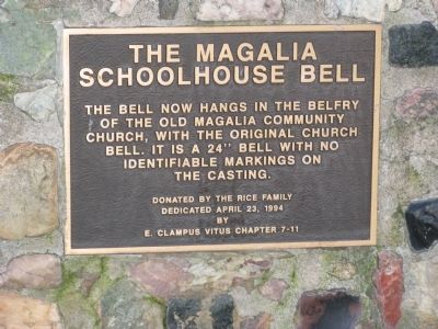
The Magalia
Schoolhouse Bell
The bell now hangs in the belfry of the Old Magalia Community Church, with the original church bell. It is a 24” inch bell with no identifiable markings on the casting.
 
Erected 1994 by E Clampus Vitus, Chapter 7 - 11.
 
Topics and series. This historical marker is listed in these topic lists: Churches & ReligionNotable Buildings. In addition, it is included in the E Clampus Vitus series list.
 
Location. 39° 48.456′ N, 121° 34.749′ W. Marker is in Magalia, California, in Butte County. Marker is on Skyway Road south of Magalia Cemetery Road. Touch for map. Marker is at or near this postal address: 13700 Skyway Road, Magalia CA 95954, United States of America. Touch for directions.
 
Other nearby markers. At least 8 other markers are within 5 miles of this marker, measured as the crow flies. Dogtown (within shouting distance of this marker); The Dogtown Nugget (approx. ¼ mile away); Old Paradise (approx. 3.6 miles away); Centerville Cemetery
Paid Advertisement
Click on the ad for more information.
Please report objectionable advertising to the Editor.
Click or scan to see
this page online
(approx. 3.6 miles away); Paradise Pioneers (approx. 4.3 miles away); Centerville School (approx. 4.3 miles away); PFC. Steven J. Walberg-Riotto (approx. 4.4 miles away); Old Paradise Depot (approx. 4½ miles away). Touch for a list and map of all markers in Magalia.
 
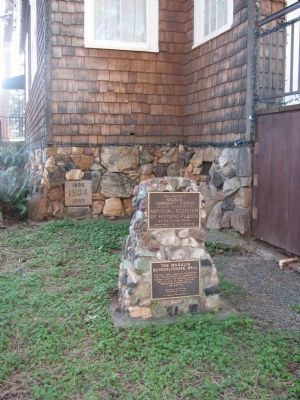
More about this marker. The markers are mounted to a stone base located at the front of the church.
 
Lower Marker - The Magalia Schoolhouse Bell image. Click for full size.
Photographed By Syd Whittle, April 8, 2010
2. Lower Marker - The Magalia Schoolhouse Bell
Magalia Community Church and Schoolhouse Bell Markers image. Click for full size.
Photographed By Syd Whittle, April 8, 2010
3. Magalia Community Church and Schoolhouse Bell Markers
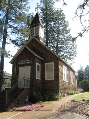
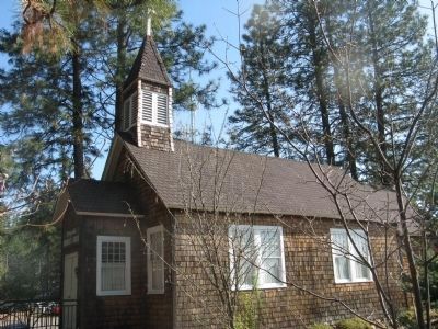
Magalia Community Church image. Click for full size.
Photographed By Syd Whittle, April 8, 2010
4. Magalia Community Church
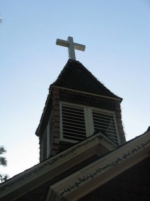
Magalia Community Church Belfry image. Click for full size.
Photographed By Syd Whittle, April 8, 2010
5. Magalia Community Church Belfry
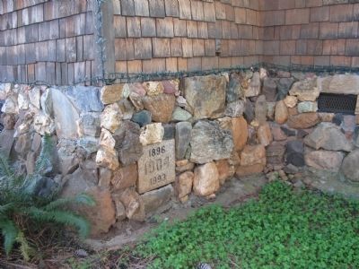
Cornerstone image. Click for full size.
Photographed By Syd Whittle, April 8, 2010
6. Cornerstone
1896
1904
1993
Magalia Community Church image. Click for full size.
Photographed By Syd Whittle, April 8, 2010
7. Magalia Community Church
 
 
Credits. This page was last revised on June 16, 2016. It was originally submitted on April 8, 2010, by Syd Whittle of Mesa, Arizona. This page has been viewed 1,503 times since then and 19 times this year. Photos:   1, 2, 3, 4, 5, 6, 7. submitted on April 8, 2010, by Syd Whittle of Mesa, Arizona.
Share this page.  
Share on Tumblr
m=29609

CeraNet Cloud Computing sponsors the Historical Marker Database.
This website earns income from purchases you make after using our links to Amazon.com. We appreciate your support.
Paid Advertisement
Apr. 25, 2024