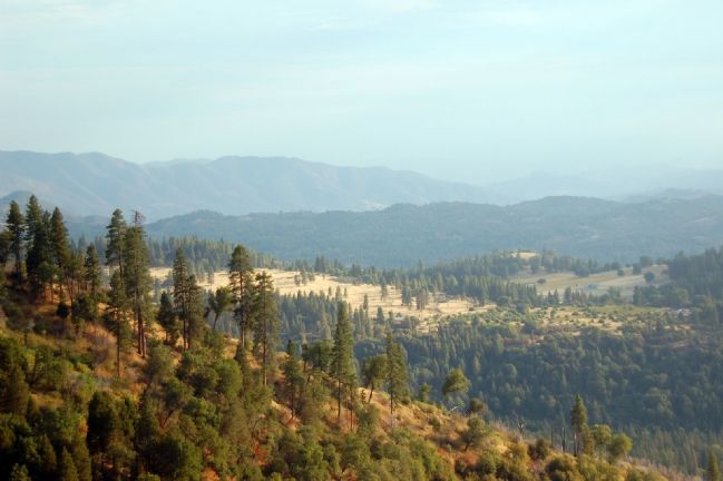
Squaw Valley in Fresno County, California — The American West (Pacific Coastal)
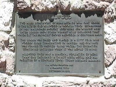
Millwood
The lumber was dried and placed in a fifty four mile wooden flume terminating in Sanger, Sequoia Lake was formed to provide flume water. The operation continued until 1910 when it was moved to Hume.
Millwood once had a seasonal population of more than one thousand, a thirty room hotel and all facilities of a complete town. Today nothing remains.
Jim Savage Chapter 1852
E Clampus Vitus
November 14, 1965
Erected 1965 by Jim Savage Chapter 1852 E Clampus Vitus.
Topics and series. This historical marker is listed in these topic lists: Horticulture & Forestry • Settlements & Settlers. In addition, it is included in the E Clampus Vitus series list. A significant historical month for this entry is November 1976.
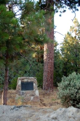
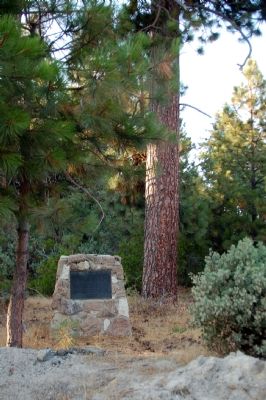
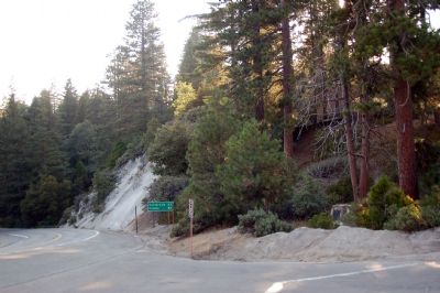
Location. 36° 43.42′ N, 118° 59.517′ W. Marker is in Squaw Valley, California, in Fresno County. Marker is at the intersection of Highway 180 and National Forest Road 13S97, on the right when traveling west on Highway 180. Touch for map. Marker is in this post office area: Squaw Valley CA 93675, United States of America. Touch for directions.
Other nearby markers. At least 8 other markers are within 8 miles of this marker, measured as the crow flies. The Fallen Monarch (approx. 1.8 miles away); General Grant Tree Trail (approx. 1.9 miles away); The Centennial Stump (approx. 1.9 miles away); Gamlin Cabin (approx. 2 miles away); Converse Basin Grove (approx. 4.1 miles away); Technology in Timber County… (approx. 7.1 miles away); Buck Rock Lookout (approx. 7.4 miles away); Dunlap Cemetery (approx. 7.9 miles away).
Also see . . . Millwood Elementary School Millwood California. (Submitted on October 15, 2007, by Karen Key of Sacramento, California.)
Credits. This page was last revised on June 16, 2016. It was originally submitted on October 15, 2007, by Karen Key of Sacramento, California. This page has been viewed 3,186 times since then and 46 times this year. Photos: 1. submitted on January 2, 2010, by Lester J Letson of Fresno, California. 2, 3, 4, 5. submitted on October 15, 2007, by Karen Key of Sacramento, California. • J. J. Prats was the editor who published this page.
