Dutton in Mathews County, Virginia — The American South (Mid-Atlantic)
Gloucester County / Mathews County
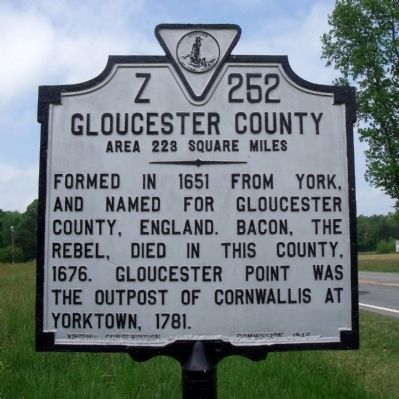
Gloucester County. Area 223 Square Miles. Formed in 1651 from York, and named for Gloucester County, England. Bacon the Rebel died in this county, 1676. Gloucester Point was the outpost of Cornwallis at Yorktown, 1781.
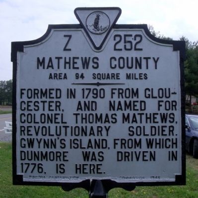
Mathews County. Area 94 Square Miles. Formed in 1790 from Gloucester, and named for Colonel Thomas Mathews, Revolutionary soldier. Gwynn's Island, from which Dunmore was driven in 1776, is here.
Erected 1946 by Virginia Conservation Commission. (Marker Number Z-252.)
Topics and series. This historical marker is listed in these topic lists: Political Subdivisions • War, US Revolutionary. In addition, it is included in the Virginia Department of Historic Resources (DHR) series list. A significant historical year for this entry is 1651.
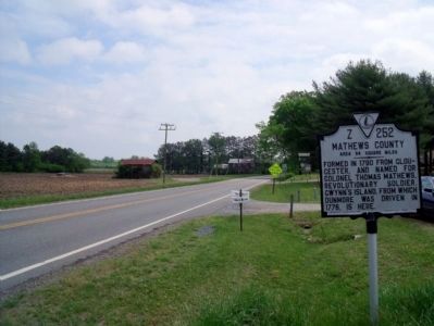
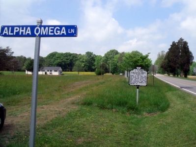
Location. 37° 29.722′ N, 76° 26.618′ W. Marker is in Dutton, Virginia, in Mathews County. Marker is on Dutton Road (Virginia Route 198) 0.1 miles west of Holland Point Road, on the left when traveling west. Touch for map. Marker is at or near this postal address: 35 Alpha Omega Ln, Dutton VA 23050, United States of America. Touch for directions.
Other nearby markers. At least 8 other markers are within 2 miles of this marker, measured as the crow flies. Mathews County (approx. 2 miles away); Fort Nonsense (approx. 2 miles away); By Land And By Sea (approx. 2 miles away); Field Fortifications (approx. 2 miles away); a different marker also named Fort Nonsense (approx. 2 miles away); Civil War In Mathews County (approx. 2 miles away); John Clayton, Botanist (approx. 2 miles away); a different marker also named Civil War In Mathews County (approx. 2 miles away).
Credits. This page was last revised on July 8, 2021. It was originally submitted on April 26, 2010, by Bernard Fisher of Richmond, Virginia. This page has been viewed 709 times since then and 15 times this year. Photos: 1, 2, 3, 4. submitted on April 26, 2010, by Bernard Fisher of Richmond, Virginia.


