Near Bardstown in Nelson County, Kentucky — The American South (East South Central)
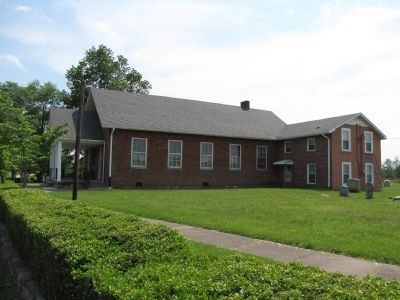
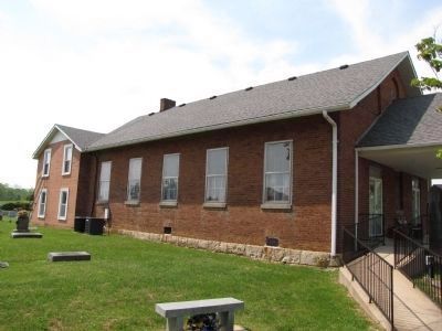
Cedar Creek Baptist
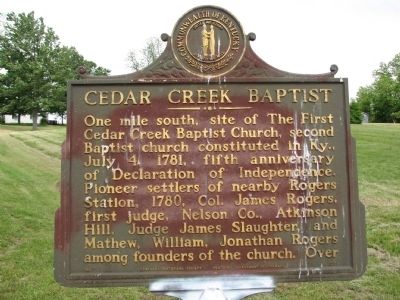
One mile south, site of The First Cedar Creek Baptist Church, second Baptist church consituted in Ky., July 5, 1781, fifth anniversary of Declaration of Independence. Pioneer settlers of nearby Rogers Station, 1780, Col. James Rogers, first judge, Nelson Co., Atkinson Hill, Judge James Slaughter, and Mathew, William, Jonathan Rogers among founders of the church.
(Side B)
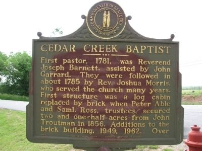
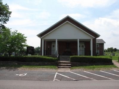
First pastor, 1781, was Reverend Joseph Barnett, assisted by John Garrard. They were followed in about 1785 by Rev. Joshua Morris, who served the church many years. First structure was a log cabin replaced by brick when Peter Able and Saml. Ross, trustees, secured two and one-half acres from John Troutman in 1856. Additions to the brick building, 1949, 1962.
Erected 1967 by Kentucky Historical Society / Kentucky Department of Highways. (Marker Number 1078.)
Topics and series. This historical marker is listed in these topic lists: Churches & Religion • Settlements & Settlers. In addition, it is included in the Kentucky Historical Society series list. A significant historical month for this entry is July 1781.
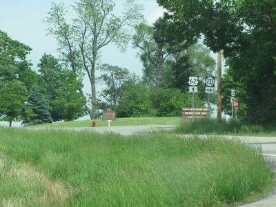
Location. 37° 48.526′ N, 85° 32.553′ W. Marker is near Bardstown, Kentucky, in Nelson County. Marker is at the intersection of Boston Road (U.S. 62) and Bellwood Road (State Road 733), on the left when traveling west on Boston Road. Touch for map. Marker is in this post office area: Bardstown KY 40004, United States of America. Touch for directions.
Other nearby markers. At least 8 other markers are within 4 miles of this marker, measured as the crow flies. Rogers Station, 1780 (approx. half a mile away); The First Cedar Creek Baptist Church (approx. ¾ mile away); Skirmish at Rolling Fork (approx. 3½ miles away); Rowan-Chambers Duel (approx. 3½ miles away); Saint Thomas Farm (approx. 3.7 miles away); Saint Joseph Cathedral / Diocese of Bardstown (approx. 3.9 miles away); Edgewood (approx. 3.9 miles away); Bethlehem Academy (approx. 3.9 miles away). Touch for a list and map of all markers in Bardstown.
Related marker. Click here for another marker that is related to this marker.
Credits. This page was last revised on June 16, 2016. It was originally submitted on May 20, 2010, by Lee Hattabaugh of Capshaw, Alabama. This page has been viewed 1,084 times since then and 29 times this year. Photos: 1, 2, 3, 4, 5, 6. submitted on May 20, 2010, by Lee Hattabaugh of Capshaw, Alabama. • Kevin W. was the editor who published this page.
