Near Red Springs in Robeson County, North Carolina — The American South (South Atlantic)
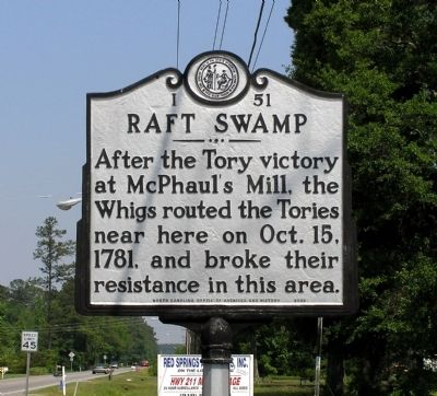
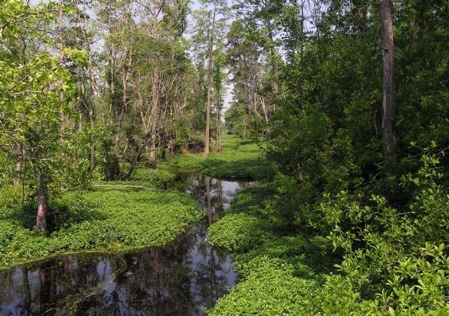
Raft Swamp
Erected 1959 by North Carolina Office of Archives and History. (Marker Number I-51.)
Topics and series. This historical marker is listed in this topic list: War, US Revolutionary. In addition, it is included in the North Carolina Division of Archives and History series list. A significant historical year for this entry is 1781.
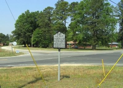
Location. 34° 47.694′ N, 79° 9.46′ W. Marker is near Red Springs, North Carolina, in Robeson County. Marker is at the intersection of East 4th Street (State Highway 211) and Old Lowery Road (County Road 1505) on East 4th Street. Touch for map. Marker is in this post office area: Red Springs NC 28377, United States of America. Touch for directions.
Other nearby markers. At least 8 other markers are within 10 miles of this marker, measured as the crow flies. Flora Macdonald College (approx. 2 miles away); McPhaul’s Mill (approx. 6.9 miles away); Croatan Normal School (approx. 7.8 miles away); Honorable Hamilton McMillan (approx. 8 miles away); Henry Berry Lowrie (approx. 8 miles away); University of N. C. at Pembroke (approx. 8 miles away); Burnt Swamp Association (approx. 8.3 miles away); Floral College (approx. 9.2 miles away). Touch for a list and map of all markers in Red Springs.
Related marker. Click here for another marker that is related to this marker. To better understand the relationship, study the marker shown.
Also see . . . The Battles of McPhaul's Mill and Raft Swamp, 1781. (Submitted on May 30, 2010, by PaulwC3 of Northern, Virginia.)
Credits. This page was last revised on June 16, 2016. It was originally submitted on May 30, 2010, by PaulwC3 of Northern, Virginia. This page has been viewed 1,501 times since then and 99 times this year. Photos: 1, 2, 3. submitted on May 30, 2010, by PaulwC3 of Northern, Virginia.


