Auburn in Placer County, California — The American West (Pacific Coastal)
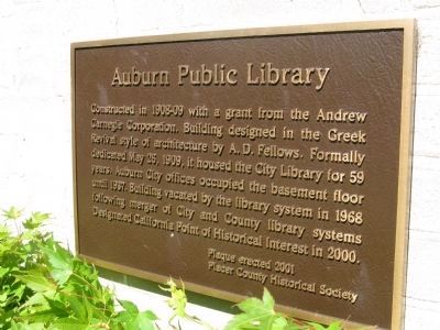
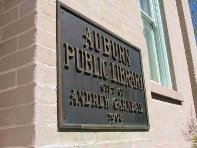
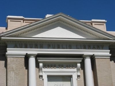
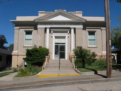
Auburn Public Library
Erected 2001 by Placer County Historical Society.
Topics and series. This historical marker is listed in these topic lists: Education • Notable Buildings. In addition, it is included in the Carnegie Libraries series list. A significant historical date for this entry is May 26, 1940.
Location. 38° 53.983′ N, 121° 4.318′ W. Marker is in Auburn, California, in Placer County. Marker is on Almond Street north of Lincoln Way, on the right when traveling south. Touch for map. Marker is at or near this postal address: 175 Almond Street, Auburn CA 95603, United States of America. Touch for directions.
Other nearby markers. At least 8 other markers are within walking distance of this marker. The Auburn Masonic Hall (about 400 feet away, measured in a direct line); Central Square (about 500 feet away); Veteran's Memorial Hall (approx. 0.2 miles away); Odd Fellows Hall, Auburn Lodge #7 (approx. 0.2 miles away); Auburn Drug Company (approx. 0.2 miles away); Gold Discovered Just Downstream in Auburn Ravine! - Why Daylight North Rich Ravine? (approx. ¼ mile away); Lincoln Avenue Businesses (approx. ¼ mile away); The Historic Cooper Amphitheater (approx. ¼ mile away). Touch for a list and map of all markers in Auburn.
Also see . . . Auburn’s Carnegie Library Sparkles at Age100. An Auburn Journal article by Gus Thomson. (Submitted on June 13, 2010.)
Additional keywords. Carnegie Library
Credits. This page was last revised on June 16, 2016. It was originally submitted on June 13, 2010, by Syd Whittle of Mesa, Arizona. This page has been viewed 969 times since then and 22 times this year. Photos: 1, 2, 3, 4. submitted on June 13, 2010, by Syd Whittle of Mesa, Arizona.


