Ridgefield in Fairfield County, Connecticut — The American Northeast (New England)
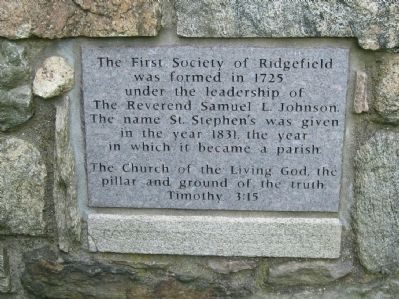
The First Society of Ridgefield
was formed in 1725
under the leadership of
The Reverend Samuel L. Johnson
The name St. Stephen's was given
in the year 1831, the year
in which it became a parish.
The Church of the Living God, the
pillar and ground of the truth
Timothy 3:15
Topics. This historical marker is listed in this topic list: Churches & Religion. A significant historical year for this entry is 1725.
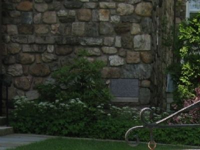
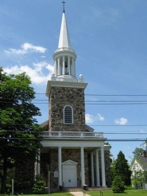
Location. 41° 16.811′ N, 73° 29.921′ W. Marker is in Ridgefield, Connecticut, in Fairfield County. Marker is at the intersection of Main Street (Connecticut Route 35) and Governor Street, on the right when traveling south on Main Street. Located on the corner of St. Stephen's Episcopal Church. Touch for map. Marker is in this post office area: Ridgefield CT 06877, United States of America. Touch for directions.
Other nearby markers. At least 8 other markers are within walking distance of this marker. The Original Episcopal Church (a few steps from this marker); Bissell's – Destroyed by Two Conflagrations (within shouting distance of this marker); The Village Center in the Early 1900s (within shouting distance of this marker); The Lounsbury House (within shouting distance of this marker); The Confederate Bell (about 300 feet away, measured in a direct line); More of the Great Fire (about 300 feet away); Ridgefield Veterans Memorial (about 300 feet away); The Great Fire of 1895 (about 500 feet away). Touch for a list and map of all markers in Ridgefield.
Credits. This page was last revised on June 16, 2016. It was originally submitted on June 17, 2010, by Michael Herrick of Southbury, Connecticut. This page has been viewed 718 times since then and 23 times this year. Photos: 1, 2, 3. submitted on June 17, 2010, by Michael Herrick of Southbury, Connecticut.


