Summit Township near Erie in Erie County, Pennsylvania — The American Northeast (Mid-Atlantic)
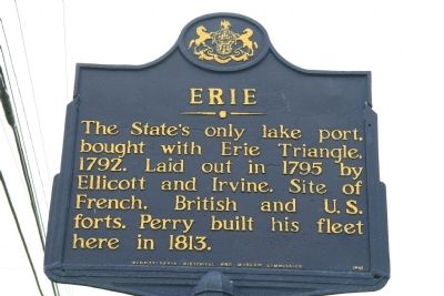
Erie
Erected 1949 by Pennsylvania Historical and Museum Commission.
Topics and series. This historical marker is listed in these topic lists: Forts and Castles • Settlements & Settlers • War of 1812. In addition, it is included in the Pennsylvania Historical and Museum Commission series list. A significant historical year for this entry is 1792.
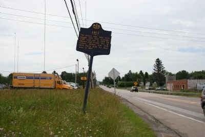
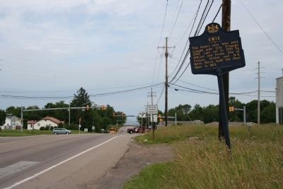
Location. 42° 2.621′ N, 80° 4.475′ W. Marker is near Erie, Pennsylvania, in Erie County. It is in Summit Township. Marker is on Peach Street (U.S. 19) south of Robinson Road West, on the left when traveling south. This historical marker is located south of Erie, Pennsylvania, and just south of Interstate 90, on the east side of the road that runs between Erie and Waterford Pennsylvania. Touch for map. Marker is at or near this postal address: 8255 Peach Street, Erie PA 16509, United States of America. Touch for directions.
Other nearby markers. At least 8 other markers are within 5 miles of this marker, measured as the crow flies. Old French Road (approx. 3˝ miles away); Michael Cannavino (approx. 3.7 miles away); Old State Line (approx. 3.8 miles away); Vietnam Veterans Memorial (approx. 4.6 miles away); Northwest PA Purple Heart Memorial (approx. 4.6 miles away); a different marker also named Old State Line (approx. 4.6 miles away); Flag Display (approx. 4.6 miles away); Korean War Memorial (approx. 4.6 miles away). Touch for a list and map of all markers in Erie.
Also see . . .
1. Erie - Behind the Marker. ExplorePAHistory.com (Submitted on July 11, 2011, by Mike Wintermantel of Pittsburgh, Pennsylvania.)
2. City of Erie, PA. (Submitted on July 11, 2011, by Mike Wintermantel of Pittsburgh, Pennsylvania.)
Credits. This page was last revised on February 7, 2023. It was originally submitted on June 17, 2010, by Dale K. Benington of Toledo, Ohio. This page has been viewed 839 times since then and 14 times this year. Photos: 1, 2, 3. submitted on June 17, 2010, by Dale K. Benington of Toledo, Ohio. 4. submitted on July 27, 2011, by Mike Wintermantel of Pittsburgh, Pennsylvania.


