Near Huntsville in Madison County, Alabama — The American South (East South Central)
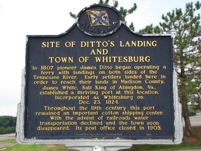
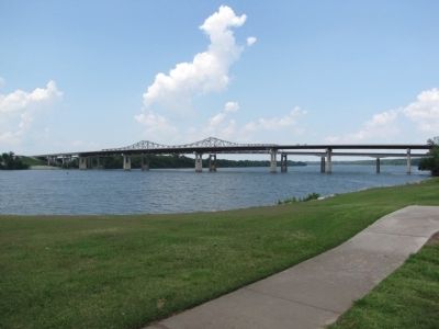
Site of Ditto's Landing and Town of Whitesburg
Inscription.
Throughout the 19th century this port remained an important cotton shipping center. With the advent of railroads water transportation declined and the town soon disappeared. Its post office closed in 1905.
Erected 1985 by Alabama Historical Association.
Topics and series. This historical marker is listed in this topic list: Settlements & Settlers. In addition, it is included in the Alabama Historical Association series list. A significant historical month for this entry is December 1847.
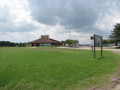
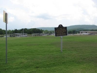
Location. 34° 34.558′ N, 86° 33.777′ W. Marker is near Huntsville, Alabama, in Madison County. Marker is at the intersection of Boat Docks Road and W. Eugene Morgan Road, on the left when traveling south on Boat Docks Road. Marker is located near the Ditto's Landing administration building. Touch for map. Marker is in this post office area: Huntsville AL 35803, United States of America. Touch for directions.
Other nearby markers. At least 8 other markers are within 9 miles of this marker, measured as the crow flies. Lacey's Spring (approx. 3.1 miles away); John C. Grayson Family Cemetery (approx. 5.4 miles away); The Boeing-Vertol A/ACH47A Helicopter Gunship (approx. 6.3 miles away); Union Hill School (approx. 7.9 miles away); Hermes Guided Missile (approx. 8 miles away); Valhermoso Springs (approx. 8.1 miles away); The J-2 Engine (approx. 8.1 miles away); The F-1 Engine (approx. 8.1 miles away). Touch for a list and map of all markers in Huntsville.
Credits. This page was last revised on June 16, 2016. It was originally submitted on June 17, 2010, by Lee Hattabaugh of Capshaw, Alabama. This page has been viewed 2,364 times since then and 74 times this year. Photos: 1, 2, 3, 4. submitted on June 17, 2010, by Lee Hattabaugh of Capshaw, Alabama. • Bill Pfingsten was the editor who published this page.


