Sullivans Island in Charleston County, South Carolina — The American South (South Atlantic)
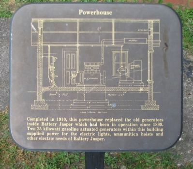
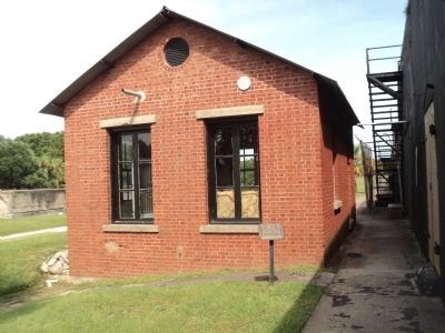
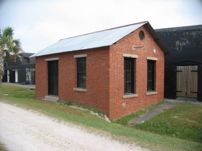
Powerhouse
Topics. This historical marker is listed in this topic list: Military. A significant historical year for this entry is 1910.
Location. 32° 45.524′ N, 79° 51.358′ W. Marker is on Sullivans Island, South Carolina, in Charleston County. Marker is on Poe Avenue, on the right when traveling east. Located at stop nine of the tour of Fort Moultrie. Touch for map. Marker is in this post office area: Sullivans Island SC 29482, United States of America. Touch for directions.
Other nearby markers. At least 8 other markers are within walking distance of this marker. Water for the Army (a few steps from this marker); America Responds To A New Challenge (a few steps from this marker); Why is it Black? (within shouting distance of this marker); A Forgotten Branch Of The Service . . . The U.S. Army Coast Artillery (within shouting distance of this marker); Coastal Defense: The Endicott System (within shouting distance of this marker); Disappearing Rifle: The Endicott System (within shouting distance of this marker); Battery Jasper (within shouting distance of this marker); In The Days Before Computers (within shouting distance of this marker). Touch for a list and map of all markers in Sullivans Island.
Credits. This page was last revised on June 16, 2016. It was originally submitted on June 18, 2010, by Craig Swain of Leesburg, Virginia. This page has been viewed 577 times since then and 13 times this year. Photos: 1. submitted on June 18, 2010, by Craig Swain of Leesburg, Virginia. 2. submitted on August 22, 2013, by Bill Coughlin of Woodland Park, New Jersey. 3. submitted on June 18, 2010, by Craig Swain of Leesburg, Virginia. 4, 5, 6. submitted on August 16, 2011, by Mike Stroud of Bluffton, South Carolina.
