Sloansville in Schoharie County, New York — The American Northeast (Mid-Atlantic)
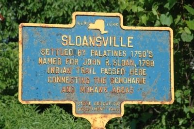
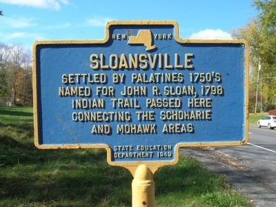
Sloansville
Named for John R. Sloan, 1798
Indian trail passed here
connecting the Schoharie
and Mohawk Areas
Erected 1949 by New York State Education Department.
Topics. This historical marker is listed in these topic lists: Notable Places • Settlements & Settlers. A significant historical year for this entry is 1798.
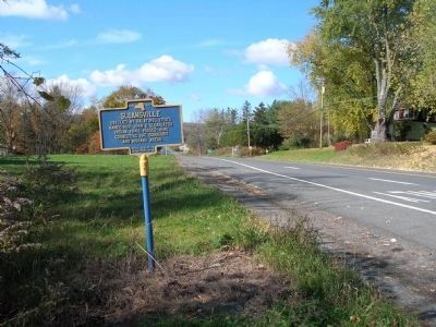
Location. 42° 45.423′ N, 74° 19.89′ W. Marker is in Sloansville, New York, in Schoharie County. Marker is at the intersection of Great Western Turnpike (U.S. 20) and Briggs Road, on the right when traveling east on Great Western Turnpike. The Sloansville Marker is a short distance west of intersection of Route 20 and 30A & 162. Touch for map. Marker is in this post office area: Sloansville NY 12160, United States of America. Touch for directions.
Other nearby markers. At least 8 other markers are within 4 miles of this marker, measured as the crow flies. Indian Stone Heap (approx. 0.3 miles away); Site Of Encampment (approx. 0.8 miles away); Schoharie Junction (approx. 2.6 miles away); Central Bridge (approx. 3.2 miles away); Daniel W. Jenkins (approx. 3.2 miles away); Site of Block House (approx. 3.3 miles away); Birthplace of George Westinghouse (approx. 3.3 miles away); Tavern (approx. 3˝ miles away). Touch for a list and map of all markers in Sloansville.
Also see . . . Hamlet of Sloansville History. Greener Pastures website entry (Submitted on June 18, 2010, by Howard C. Ohlhous of Duanesburg, New York.)
Credits. This page was last revised on December 2, 2021. It was originally submitted on June 18, 2010, by Howard C. Ohlhous of Duanesburg, New York. This page has been viewed 870 times since then and 29 times this year. Photos: 1, 2, 3, 4. submitted on June 18, 2010, by Howard C. Ohlhous of Duanesburg, New York. • Kevin W. was the editor who published this page.


