Near Laughlin in Clark County, Nevada — The American Mountains (Southwest)
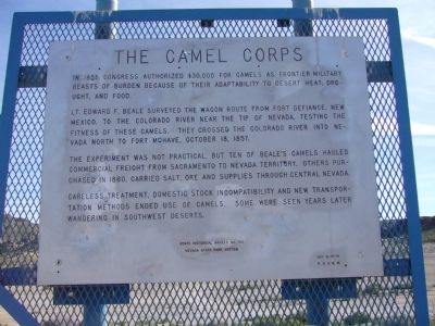
The Camel Corps
Lt. Edward F. Beale surveyed the wagon route from Fort Defiance, New Mexico, to the Colorado River near the tip of Nevada, testing the fitness of these camels. They crossed the Colorado River into Nevada north to Fort Mohave, October 18, 1857.
The experiment was not practical, but ten of Beale's camels hauled commercial freight from Sacramento to Nevada territory. Others purchased in 1860, carried salt, ore and supplies through central Nevada.
Careless treatment, domestic stock incompatibility and new transportation methods ended use of camels. Some were seen years later wandering in southwest deserts.
Erected by Nevada State Park System. (Marker Number 104.)
Topics. This historical marker is listed in these topic lists: Animals • Military. A significant historical date for this entry is October 18, 1860.
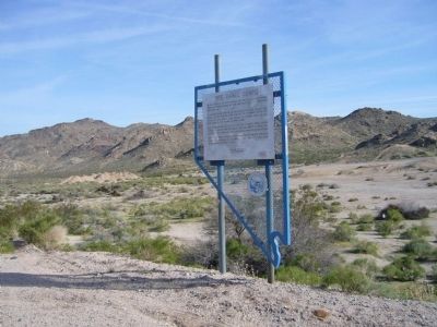
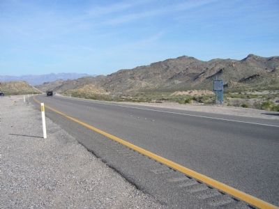
Location. Marker has been reported missing. It was located near 35° 10.327′ N, 114° 42.648′ W. Marker was near Laughlin, Nevada, in Clark County. Marker was on Nevada Route 163 at milepost 8, on the right when traveling east. Marker is on the east-bound shoulder of SR 163. There is a paved crossover from the west-bound lanes at the marker. Touch for map. Marker was in this post office area: Laughlin NV 89029, United States of America. Touch for directions.
Other nearby markers. At least 8 other markers are within 8 miles of this location, measured as the crow flies. The Garcés Expedition (approx. 5.7 miles away); 9/11 Arizona Heroes Memorial (approx. 6.9 miles away in Arizona); Arizona Medal of Honor (approx. 6.9 miles away in Arizona); In Memory of All Vietnam Veterans (approx. 6.9 miles away in Arizona); Arizona Veterans Memorial (approx. 7.1 miles away in Arizona); Hardyville Pioneer Cemetery (approx. 7.8 miles away in Arizona); Donald (Don) J. Laughlin (approx. 7.8 miles away); Camels and Commerce (approx. 7.9 miles away). Touch for a list and map of all markers in Laughlin.
Related markers. Click here for a list of markers that are related to this marker. A series of markers documenting the Army's Great Western Camel Experiment.
Also see . . .
1. History's Most Successful Failure - The US Army's Camel Corps. The idea of using camels as overland transport in the deserts of the American Southwest was the brainchild of then US Secretary of War Jefferson Finis Davis. (Submitted on April 1, 2010.)
2. New Amended Text for Marker. The Nevada State Historic Preservation Office (SHPO) recently updated the text of the roughly 260 state historical markers in Nevada. The Nevada SHPO placed the amended text of each individual marker on its website and will change the actual markers in the field as funding allows. Minor changes have been made to this marker for grammar, readability, and content. The link will take you to the Nevada SHPO page for the marker with the amended text. (Submitted on October 25, 2013, by Duane Hall of Abilene, Texas.)
Additional commentary.
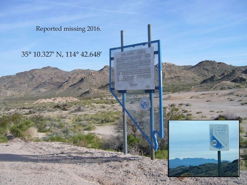
1. Marker removed in 2016-will be replaced someday
The State Historical Marker was removed in 2016. There are highway signs indicating that you are approaching the marker however. Coordinates are accurate for the spot. I will attach a photo montage if I can find a way to do so.
— Submitted March 11, 2019, by Paulette Nelson of N Las Vegas, Nevada.
Photographed By Thomas Chris English
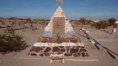
4. Hi Jolly's (Haiji Ali's?) Monument
The monument and marker commemorating the famous camel handler Hi Jolly.
Click for more information.
Click for more information.
Credits. This page was last revised on April 18, 2020. It was originally submitted on March 30, 2010, by Bill Kirchner of Tucson, Arizona. This page has been viewed 2,176 times since then and 74 times this year. Last updated on July 9, 2010, by Chris English of Phoenix, Arizona. Photos: 1, 2, 3. submitted on March 30, 2010, by Bill Kirchner of Tucson, Arizona. 4. submitted on December 12, 2009, by Chris English of Phoenix, Arizona. 5. submitted on March 11, 2019, by Paulette Nelson of N Las Vegas, Nevada. • Syd Whittle was the editor who published this page.
