Prescott in Yavapai County, Arizona — The American Mountains (Southwest)
Washington School
Photographed by Bill Kirchner, July 6, 2010
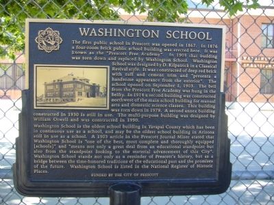
1. Washington School Marker
Washington School is the oldest school building in Yavapai County which has been in continuous use as a school, and may be the oldest school building in Arizona still in use as a school. A 1903 article in the Prescott Journal Miner stated that Washington School is "one of the best,
this page online
Erected by City of Prescott.
Topics. This historical marker is listed in these topic lists: Architecture • Education. A significant historical month for this entry is September 1876.
Location. 34° 32.519′ N, 112° 27.919′ W. Marker is in Prescott, Arizona, in Yavapai County. It is on East Gurley Street east of South Alarcon Street, on the right when traveling west. Touch for map. Marker is at or near this postal address: 300 East Gurley Street, Prescott AZ 86303, United States of America. Touch for directions.

Regionally, this marker is in the Prescott Area. It is also in the American Southwest and in the Mountain West. Globally, it is in North America, the Western Hemisphere, the Western World,
Photographed by Bill Kirchner, July 6, 2010
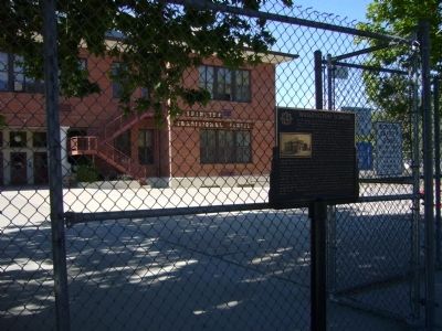
2. Washington School Marker
Other nearby markers. At least 8 other markers are within walking distance of this marker: Prescott High School and the Yavapai Club (within shouting distance of this marker); The Day Octagon (about 400 feet away, measured in a direct line); Hassayampa Inn (about 600 feet away); The Carnegie Library (about 700 feet away); Nob Hill (about 700 feet away); Sacred Heart Catholic Church and Rectory (approx. 0.2 miles away); Prescott National Bank (approx. 0.2 miles away); Knights of Pythias Building (approx. 0.2 miles away). Touch for a list and map of all markers in Prescott.
Photographed by Bill Kirchner, July 6, 2010
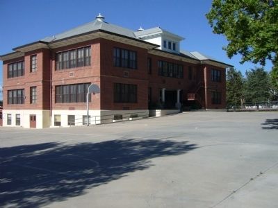
3. Washington School
Credits. This page was last revised on June 28, 2025. It was originally submitted on July 15, 2010, by Bill Kirchner of Tucson, Arizona. This page has been viewed 1,773 times since then and 73 times this year. Photos: 1, 2, 3. submitted on July 15, 2010, by Bill Kirchner of Tucson, Arizona. • Syd Whittle was the editor who published this page.
