Downtown in Norfolk, Virginia — The American South (Mid-Atlantic)
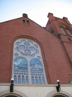
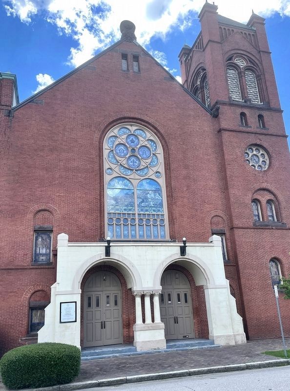
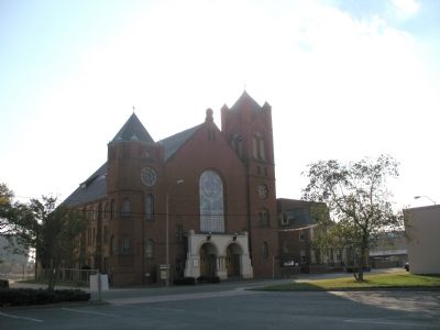
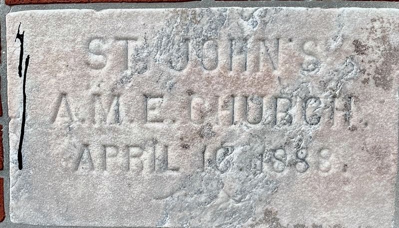
St. Johnís African Methodist Episcopal Church
Inscription.
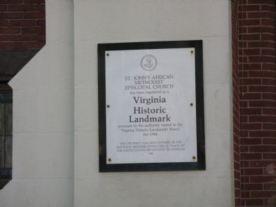
St. Johnís African Methodist Episcopal Church has been registered as a Virginia Historic Landmark pursuant to the authority vested in the Virginia Historic Landmarks Board Act 1966.
This property has been entered in the national Register of Historical Places by the United States Department of Interior
1986
Erected 1986 by Virginia Historic Landmarks Board.
Topics and series. This historical marker is listed in these topic lists: African Americans • Churches & Religion. In addition, it is included in the African Methodist Episcopal (AME) Church series list. A significant historical year for this entry is 1888.
Location. 36° 51.131′ N, 76° 16.929′ W. Marker is in Norfolk, Virginia. It is in Downtown. Marker is at the intersection of East Bute Street and Posey Lane, on the right when traveling east on East Bute Street. Touch for map. Marker is at or near this postal address: 545 E Bute Street, Norfolk VA 23510, United States of America. Touch for directions.
Other nearby markers. At least 8 other markers are within walking distance of this marker. Evelyn Thomas Butts (about 600 feet away, measured in a direct line); Hospital of St. Vincent dePaul (about 600 feet away); First Baptist Church (about 600 feet away); First Baptist Church, Bute Street (about 700 feet away); AKA Iota Omega (about 700 feet away); Dr. Martin Luther King, Jr. (about 700 feet away); Bank Street Baptist Church (approx. 0.2 miles away); Francis Drake, Free Black Barber (approx. ľ mile away). Touch for a list and map of all markers in Norfolk.
Credits. This page was last revised on October 26, 2023. It was originally submitted on November 5, 2007, by Laura Troy of Burke, Virginia. This page has been viewed 1,175 times since then and 29 times this year. Last updated on August 8, 2022, by Brandon D Cross of Flagler Beach, Florida. Photos: 1, 2. submitted on November 5, 2007, by Laura Troy of Burke, Virginia. 3. submitted on August 8, 2022, by Brandon D Cross of Flagler Beach, Florida. 4. submitted on November 5, 2007, by Laura Troy of Burke, Virginia. 5. submitted on August 8, 2022, by Brandon D Cross of Flagler Beach, Florida. • Bernard Fisher was the editor who published this page.
