Attalla in Etowah County, Alabama — The American South (East South Central)
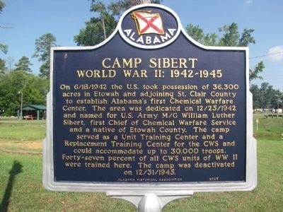
Camp Sibert
World War II: 1942-1945
Erected 2005 by Alabama Historical Association.
Topics and series. This historical marker is listed in these topic lists: Military • War, World II. In addition, it is included in the Alabama Historical Association series list.
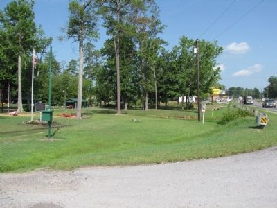
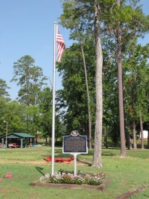
Location. 33° 59.982′ N, 86° 6.552′ W. Marker is in Attalla, Alabama, in Etowah County. Marker is on Gilbert Ferry Road SE (State Highway 77) north of Case Avenue SE, on the left when traveling north. Marker is located at the Attalla City Park. Touch for map. Marker is in this post office area: Attalla AL 35954, United States of America. Touch for directions.
Other nearby markers. At least 8 other markers are within 4 miles of this marker, measured as the crow flies. “The Junction” (approx. 1.9 miles away); Camp Wills (approx. 1.9 miles away); Electricity for the City of Attalla (approx. 2 miles away); First United Methodist Church Of Attalla (approx. 2.1 miles away); William Patrick Lay (approx. 2.4 miles away); Alabama City, Alabama (approx. 4 miles away); Alabama City World War II Veterans Monument (approx. 4 miles away); Dwight Mill Village (approx. 4 miles away). Touch for a list and map of all markers in Attalla.
Credits. This page was last revised on June 16, 2016. It was originally submitted on July 20, 2010, by Lee Hattabaugh of Capshaw, Alabama. This page has been viewed 3,195 times since then and 137 times this year. Photos: 1, 2, 3. submitted on July 20, 2010, by Lee Hattabaugh of Capshaw, Alabama. • Bill Pfingsten was the editor who published this page.


