Garfield in Bergen County, New Jersey — The American Northeast (Mid-Atlantic)
Post Ford
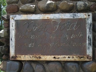
Photographed by Bill Coughlin, July 25, 2010
1. Post Ford Marker
Topics. This historical marker is listed in this topic list: War, US Revolutionary.
Location. 40° 52.882′ N, 74° 7.234′ W. Marker is in Garfield, New Jersey, in Bergen County. It is at the intersection of River Drive and Columbus Avenue, on the left when traveling north on River Drive. Touch for map. Marker is in this post office area: Garfield NJ 07026, United States of America. Touch for directions.

Regionally, this marker is in New Jersey’s North Jersey, in Greater Newark, and in the New York City Metropolitan Area. It is also in the American Northeast, in the Mid-Atlantic, and on the Eastern Seaboard. Globally, it is in the North Atlantic Region, North America, the Western Hemisphere, the Western World, and the Anglosphere. Historically, it finds itself in what was once New Netherland and also one of the original Thirteen Colonies.
Other nearby markers. At least 8 other markers are within 2 miles of this marker, measured as the crow flies: Washington’s March (approx. 0.2 miles away); Van Houten-Hillman House
this page online
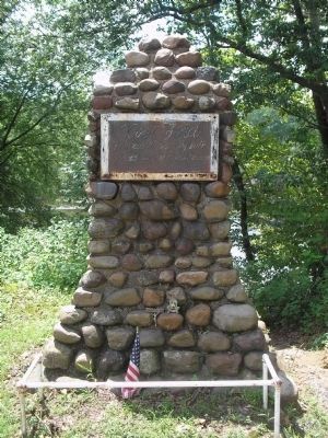
Photographed by Bill Coughlin, July 25, 2010
2. Garfield Marker
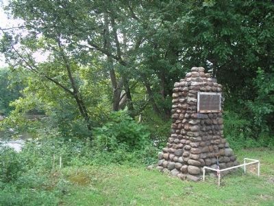
Photographed by Bill Coughlin, July 25, 2010
3. Post Ford Marker
Marker is on the east bank of the Passaic River, seen in the background. Gen. Washington and his army passed this point in November 1776 during their retreat across New Jersey.
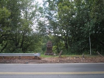
Photographed by Bill Coughlin, July 25, 2010
4. Marker on River Drive
Credits. This page was last revised on January 19, 2024. It was originally submitted on July 25, 2010, by Bill Coughlin of Woodland Park, New Jersey. This page has been viewed 1,429 times since then and 73 times this year. Photos: 1, 2, 3, 4. submitted on July 25, 2010, by Bill Coughlin of Woodland Park, New Jersey.
