Independence in Jackson County, Missouri — The American Midwest (Upper Plains)
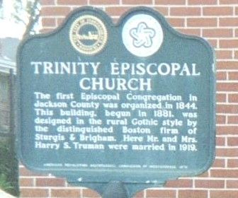
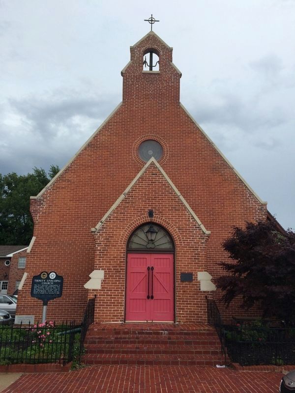
Trinity Episcopal Church
Topics and series. This historical marker is listed in this topic list: Churches & Religion. In addition, it is included in the Former U.S. Presidents: #33 Harry S. Truman series list. A significant historical year for this entry is 1844.
Location. 39° 5.709′ N, 94° 25.019′ W. Marker is in Independence, Missouri, in Jackson County. Marker is on North Liberty Street, on the right when traveling north. Touch for map. Marker is at or near this postal address: 409 North Liberty Street, Independence MO 64050, United States of America. Touch for directions.
Other nearby markers. At least 8 other markers are within walking distance of this marker. Second Battle of Independence (about 600 feet away, measured in a direct line); Second Baptist Church (about 700 feet away); Fire Station No. 1 (about 700 feet away); St. Mary's Catholic Church (about 700 feet away); Jackson County Marshal's House and Jail Museum (about 700 feet away); Twyman Hotel - Kenton House (approx. 0.2 miles away); Jackson County Courthouse (approx. 0.2 miles away); The Minor House (approx. 0.2 miles away). Touch for a list and map of all markers in Independence.
Additional keywords. Marriage place of Harry S. and Bess Truman
Credits. This page was last revised on April 24, 2018. It was originally submitted on July 26, 2010, by Jack Duffy of West Jordan, Utah. This page has been viewed 654 times since then and 13 times this year. Photos: 1. submitted on July 26, 2010, by Jack Duffy of West Jordan, Utah. 2, 3, 4. submitted on April 22, 2018, by Pat Filippone of Stockton, California. • Craig Swain was the editor who published this page.


