Poolesville in Montgomery County, Maryland — The American Northeast (Mid-Atlantic)
St. Peter's Church
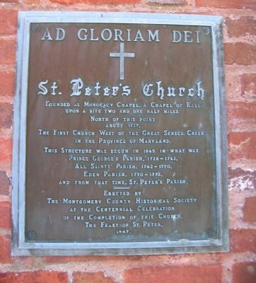
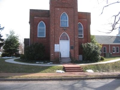
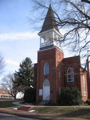
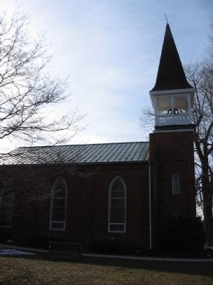
St. Peter's Church
The First Church West of the Great Seneca Creek in the Province of Maryland.
This Structure was begun in 1845 in what was Prince George's Parish, 1726-1742. All Saints' Parish, 1742-1770. Eden Parish, 1770-1792. And from that time, St. Peter's Parish.
Erected by the Montgomery County Historical Society at the Centennial Celebration of the Completion of this Church, the Feast of St. Peter, 1947.
Erected 1947 by the Montgomery County Historical Society.
Topics. This historical marker is listed in this topic list: Churches & Religion. A significant historical year for this entry is 1737.
Location. 39° 8.78′ N, 77° 25.158′ W. Marker is in Poolesville, Maryland, in Montgomery County. Marker is on Whites Ferry Road (State Highway 107), on the right when traveling east. Touch for map. Marker is in this post office area: Poolesville MD 20837, United States of America. Touch for directions.
Other nearby markers. At least 8 other markers are within walking distance of this marker. 20101 Fisher Avenue (a few steps from this marker); The Civil War at Poolesville (about 400 feet away, measured in a direct line); Historic Poolesville (about 500 feet away); Welcome to Poolesville (about 700 feet away); Lynching of George W. Peck / Lynching in Maryland (about 800 feet away); Poolesville (about 800 feet away); The Old Bank Building (approx. 0.2 miles away); a different marker also named Poolesville (approx. 0.2 miles away). Touch for a list and map of all markers in Poolesville.
Credits. This page was last revised on June 16, 2016. It was originally submitted on August 1, 2010, by Craig Swain of Leesburg, Virginia. This page has been viewed 1,018 times since then and 21 times this year. Photos: 1, 2, 3, 4. submitted on August 1, 2010, by Craig Swain of Leesburg, Virginia.


