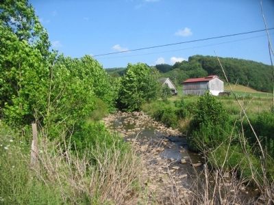
Valley Furnace in Barbour County, West Virginia — The American South (Appalachia)
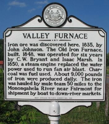
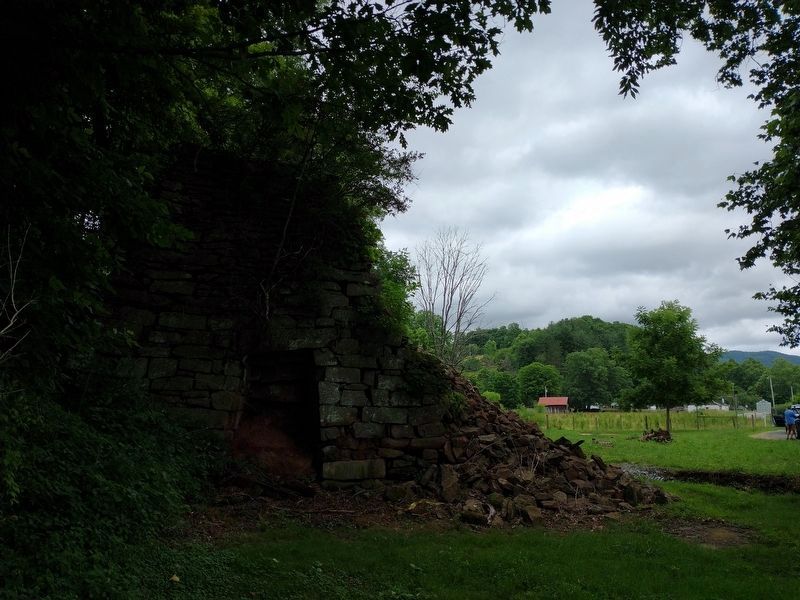
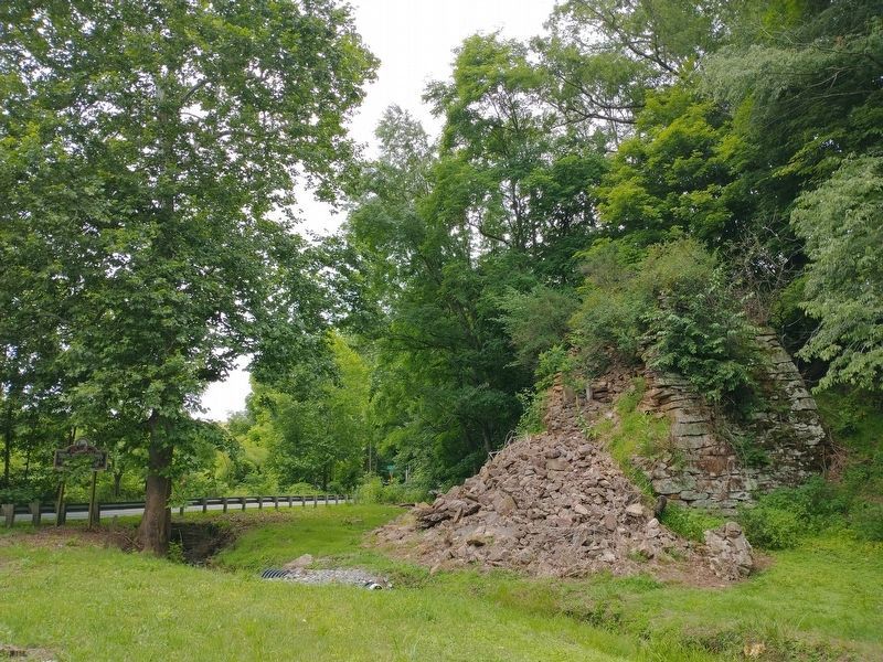
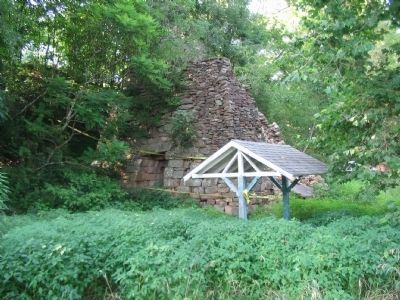
Valley Furnace
Erected 1965 by West Virginia Historic Commission.
Topics and series. This historical marker is listed in this topic list: Industry & Commerce. In addition, it is included in the Appalachian Iron Furnaces, and the West Virginia Archives and History series lists. A significant historical year for this entry is 1835.
Location. 39° 11.77′ N, 79° 52.017′ W. Marker is in Valley Furnace, West Virginia, in Barbour County. Marker is on State Highway 38, on the right when traveling west. Touch for map. Marker is in this post office area: Moatsville WV 26405, United States of America. Touch for directions.
Other nearby markers. At least 8 other markers are within 10 miles of this marker, measured as the crow flies. Preston County / Barbour County (approx. 6.8 miles away); Jonathan Minear (approx. 7˝ miles away); Randolph County / Tucker County (approx. 8˝ miles away); Seneca Trail (approx. 8.8 miles away); Capture of St. George / Imboden’s Expedition (approx. 9 miles away); St. George (approx. 9 miles away); Saint George Academy (approx. 9.3 miles away); Veterans Memorial (approx. 9˝ miles away).
Also see . . . Antebellum Iron Works in Western Virginia. Photo of the furnace ruins in better days, plus a detailed look at the iron industry in the state. (Submitted on August 2, 2010, by Craig Swain of Leesburg, Virginia.)
Credits. This page was last revised on August 29, 2022. It was originally submitted on August 2, 2010, by Craig Swain of Leesburg, Virginia. This page has been viewed 1,534 times since then and 80 times this year. Photos: 1. submitted on August 2, 2010, by Craig Swain of Leesburg, Virginia. 2, 3. submitted on August 9, 2022, by Tom Bosse of Jefferson City, Tennessee. 4, 5, 6. submitted on August 2, 2010, by Craig Swain of Leesburg, Virginia.
