Goliad in Goliad County, Texas — The American South (West South Central)
Goliad
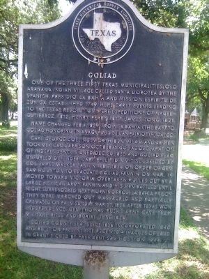
One of the three first Texas municipalities. Old Aranama Indian village called Santa Dorotea by the Spanish. Presidio La Bahia and Mission Espiritu de Zuniga established 1749. Here early events leading to the Texas Revolution were expeditions of Magee-Gutierrez, 1812; Henry Perry, 1817; James Long, 1821.
Name changed Feb.4, 1829, from La Bahia (the Bay) to Goliad. Honoring (in anagram) Mexican patriot (H)idalgo.
Capt. George Collingsworth, Ben Milam and 48 men took Mexican garrison Oct. 8, 1835. Goliad Declaration of Independence signed Dec. 20, 1835, and Goliad flag unfurled. Defender Capt. Philip Dimmit succeeded by Col. James Walker Fannin, Feb. 7, 1836. On order of Gen. Sam Houston to evacuate Goliad, Fannin on Mar. 19, moved toward Victoria. Overtaken 9 miles out by a large Mexican army, Fannin and his men battled until night, surrendered next morning. From La Bahia Prison they were marched out, massacred and partially cremated on Palm Sunday, Mar. 27, 1836. After Texas won independence, Gen. Thomas Rusk's army gave them military rites and burial, June 1836.
Goliad County Seat since 1836. Incorporated 1840 and built on present site. Received 4 leagues of land in grant signed by President Sam Houston, 1844.
Erected 1965 by State Historical Survey Committee. (Marker Number 2200.)
Topics. This historical marker is listed in these topic lists: Settlements & Settlers • War, Texas Independence. A significant historical year for this entry is 1749.
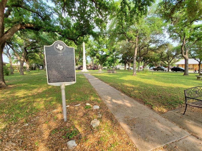
Location. 28° 40.043′ N, 97° 23.472′ W. Marker is in Goliad, Texas, in Goliad County. Marker is on South Market Street north of East Franklin Street, on the right when traveling north. In City Park/Fannin Plaza. Touch for map. Marker is in this post office area: Goliad TX 77963, United States of America. Touch for directions.
Other nearby markers. At least 8 other markers are within walking distance of this marker. J. W. Fannin (within shouting distance of this marker); Market House Museum (within shouting distance of this marker); Goliad County World War I Memorial (about 400 feet away, measured in a direct line); First Lieut. James H. Ewell Jr. Memorial (about 400 feet away); Santa Anna's Surrender Ratified (about 500 feet away); The Hanging Tree (about 500 feet away); Goliad Lodge No. 94 A.F. & A.M. (about 500 feet away); The Goliad Advance-Guard (about 500 feet away). Touch for a list and map of all markers in Goliad.
Credits. This page was last revised on November 18, 2020. It was originally submitted on August 7, 2010, by Steve Gustafson of Lufkin, Texas. This page has been viewed 1,291 times since then and 40 times this year. Photos: 1. submitted on August 7, 2010, by Steve Gustafson of Lufkin, Texas. 2. submitted on October 19, 2019, by Brian Anderson of Humble, Texas. • Bill Pfingsten was the editor who published this page.

