Near Marlinton in Pocahontas County, West Virginia — The American South (Appalachia)
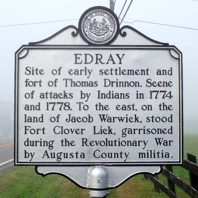
Edray
Topics and series. This historical marker is listed in these topic lists: Forts and Castles • Settlements & Settlers • War, US Revolutionary. In addition, it is included in the West Virginia Archives and History series list. A significant historical year for this entry is 1774.
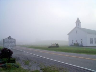
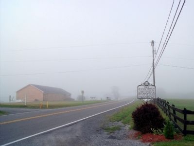
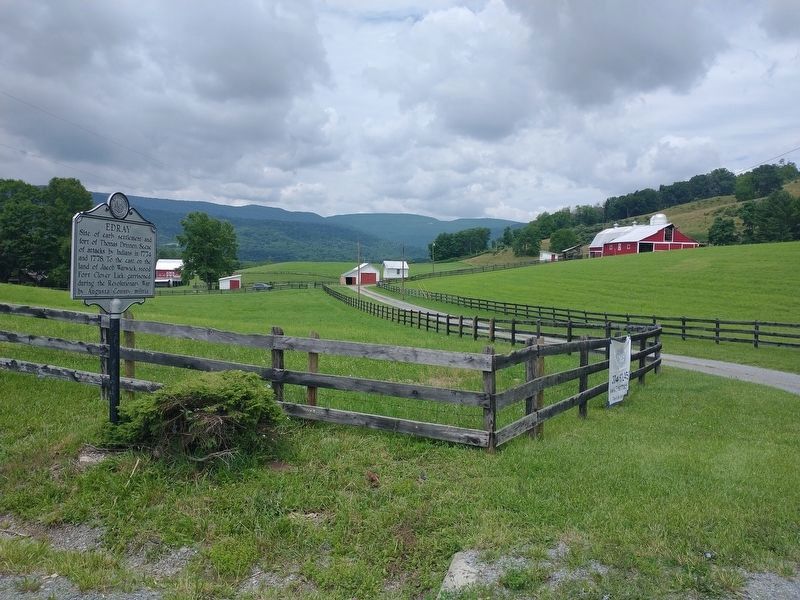
Location. 38° 16.207′ N, 80° 5.549′ W. Marker is near Marlinton, West Virginia, in Pocahontas County. Marker is at the intersection of Seneca Trail (U.S. 219) and Back Mountain Road (County Route 1), on the left when traveling north on Seneca Trail. Touch for map. Marker is in this post office area: Marlinton WV 24954, United States of America. Touch for directions.
Other nearby markers. At least 8 other markers are within 7 miles of this marker, measured as the crow flies. Big Lime (approx. half a mile away); Greenbrier Covered Bridge (approx. 3.2 miles away); Marlinton (approx. 3.3 miles away); Marlinton: Heritage (approx. 3.3 miles away); Welcome to Pocahontas County (approx. 3.4 miles away); Frank and Anna Hunter House (approx. 3.4 miles away); Natural History and Heritage (approx. 6 miles away); Huntersville Jail / Presbyterian Church (approx. 6.9 miles away). Touch for a list and map of all markers in Marlinton.
Credits. This page was last revised on December 3, 2022. It was originally submitted on August 14, 2010, by Bernard Fisher of Richmond, Virginia. This page has been viewed 773 times since then and 46 times this year. Photos: 1, 2, 3. submitted on August 14, 2010, by Bernard Fisher of Richmond, Virginia. 4. submitted on November 21, 2022, by Tom Bosse of Jefferson City, Tennessee.


