Near Franklin in Pendleton County, West Virginia — The American South (Appalachia)
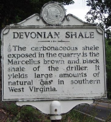
Devonian Shale
Erected by West Virginia Historic Commission (Sponsored by West Virginia Centennial Committee of the Oil and Natural Gas Industry).
Topics and series. This historical marker is listed in this topic list: Natural Resources. In addition, it is included in the West Virginia Archives and History series list.
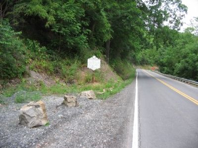
Location. 38° 37.266′ N, 79° 20.652′ W. Marker is near Franklin, West Virginia, in Pendleton County. Marker is on U.S. 220, on the right when traveling south. Touch for map. Marker is in this post office area: Franklin WV 26807, United States of America. Touch for directions.
Other nearby markers. At least 8 other markers are within 2 miles of this marker, measured as the crow flies. Jackson's Prayer Service (approx. ¼ mile away); Civil War Soldiers Monument (approx. 1.6 miles away); McCoy House (approx. 1.6 miles away); Pendleton County World War I Memorial (approx. 1.6 miles away); Pendleton County Court House (approx. 1.6 miles away); Franklin (approx. 1.6 miles away); William McCoy House (approx. 1.6 miles away); Destruction of Saltpeter Works (approx. 1.9 miles away). Touch for a list and map of all markers in Franklin.
Credits. This page was last revised on January 21, 2023. It was originally submitted on August 16, 2010, by Craig Swain of Leesburg, Virginia. This page has been viewed 910 times since then and 21 times this year. Photos: 1, 2, 3. submitted on August 16, 2010, by Craig Swain of Leesburg, Virginia.


