South Jordan in Salt Lake County, Utah — The American Mountains (Southwest)
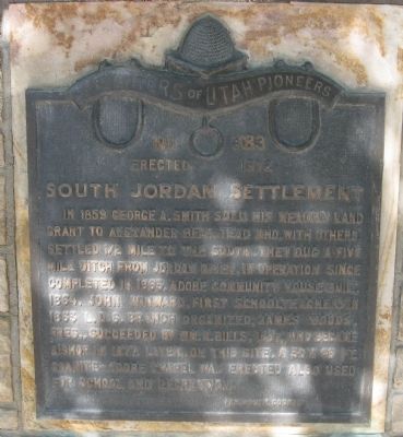
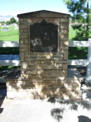
South Jordan Settlement
Erected 1972 by Far South County, Daughters of Utah Pioneers. (Marker Number 383.)
Topics and series. This historical marker is listed in these topic lists: Churches & Religion • Education • Settlements & Settlers. In addition, it is included in the Daughters of Utah Pioneers series list. A significant historical year for this entry is 1859.
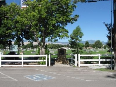
Location. 40° 33.493′ N, 111° 55.236′ W. Marker is in South Jordan, Utah, in Salt Lake County. Marker is on South 1055 West, on the right when traveling south. Marker is adjacent to (on the east side) of South Jordan City Cemetery. Touch for map. Marker is at or near this postal address: 10600 South 1055 West, South Jordan UT 84095, United States of America. Touch for directions.
Other nearby markers. At least 8 other markers are within walking distance of this marker. South Jordan Cemetery (here, next to this marker); 1938 School Bus/Train Accident Memorial (within shouting distance of this marker); Granary & Hay Barn (approx. half a mile away); Lamb Shed (approx. half a mile away); Coal Storage Shed (approx. half a mile away); Milk House (approx. half a mile away); Garside/McMullin House (approx. half a mile away); Samuel and Geneva Holt Farmstead (approx. half a mile away). Touch for a list and map of all markers in South Jordan.
Credits. This page was last revised on June 16, 2016. It was originally submitted on August 21, 2010, by Jack Duffy of West Jordan, Utah. This page has been viewed 1,219 times since then and 44 times this year. Photos: 1, 2, 3. submitted on August 21, 2010, by Jack Duffy of West Jordan, Utah. • Syd Whittle was the editor who published this page.


