Independence in Jackson County, Missouri — The American Midwest (Upper Plains)
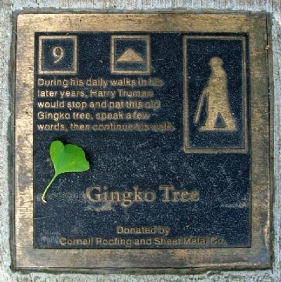
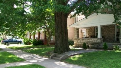
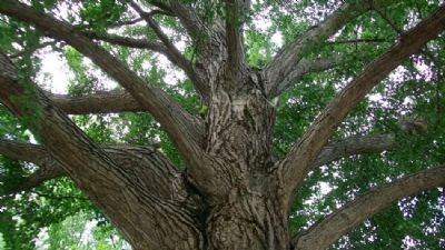
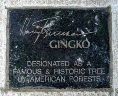
Gingko Tree
Erected by Cornell Roofing and Sheet Metal Company. (Marker Number 9.)
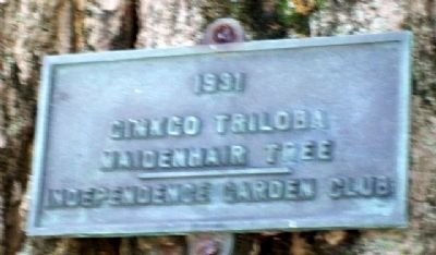
Topics and series. This historical marker is listed in this topic list: Horticulture & Forestry. In addition, it is included in the Former U.S. Presidents: #33 Harry S. Truman, and the Historic Trees series lists. A significant historical year for this entry is 1931.
Location. 39° 5.572′ N, 94° 25.385′ W. Marker is in Independence, Missouri, in Jackson County. Marker is on Maple Avenue near Delaware Street, on the right when traveling east. Marker is in the sidewalk, near the tree. Touch for map. Marker is at or near this postal address: 611 West Maple Street, Independence MO 64050, United States of America. Touch for directions.
Other nearby markers. At least 8 other markers are within walking distance of this marker. Joseph T. Noland House (about 300 feet away, measured in a direct line); Truman House (about 400 feet away); First Presbyterian Church (about 400 feet away); a different marker also named First Presbyterian Church (about 500 feet away); First Baptist Church (about 700 feet away); First Christian Church (about 700 feet away); Independence Veterans Memorial (about 700 feet away); First United Methodist Church (about 800 feet away). Touch for a list and map of all markers in Independence.
Also see . . . Gingko biloba. (Submitted on August 22, 2010, by William Fischer, Jr. of Scranton, Pennsylvania.)
Credits. This page was last revised on December 16, 2020. It was originally submitted on August 22, 2010, by William Fischer, Jr. of Scranton, Pennsylvania. This page has been viewed 1,287 times since then and 27 times this year. Photos: 1, 2, 3, 4, 5. submitted on August 22, 2010, by William Fischer, Jr. of Scranton, Pennsylvania.
