Lafayette in Tippecanoe County, Indiana — The American Midwest (Great Lakes)
Big Four Depot
Lafayette, Indiana
Photographed by Courtesy:: Trevor Searcy, August 22, 2010
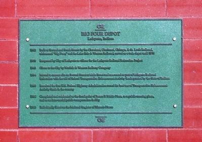
1. Big Four Depot Marker
(Click on any of these photos to see the details.)
This is a multi-transportation station. 'Trains' travel behind the station -and- 'Bus' travel also arrive and depart from the side entry of the Station.
1902 - Built at Second and South Streets by the Cleveland, Cincinnati, Chicago, & St. Louis Railroad, nicknamed “Big Four” and the lake Erie & Western Railroad; served as a train depot until 1975
1979 - Reopened by City of Lafayette as offices for the Lafayette Railroad Relocation Project
1983 - Given to the City by Norfolk & Western Railway Company
1994 - Moved to current site on Second Street at Main Street and renovated as part of Lafayette Railroad Relocation with the aid of Federal Transportation Enhancement Activity funds granted by the State of Indiana
1995 - Received the first U.S. Federal Highway Administration award for best use of Transportation Enhancement Activity funds in the country
1966 - Completed and celebrated as the focal point of James F. Riehle Plaza, as a public meeting place, and as an inter-model public transportation facility
2003 - Individually listed on the National Register of Historic Places
Topics. This historical marker is listed in this topic list: Notable Places. A significant historical year for this entry is 1902.
Location. 40° 25.162′ N, 86° 53.761′ W. Marker
this page online

Regionally, this marker is in Central Indiana. It is also in the American Midwest and in the Corn Belt. Globally, it is in North America, the Western Hemisphere, the Western World, and the Anglosphere. Historically, it finds itself in what was once the Viceroyalty of New France, the territory of the Mississippian Culture, and the Northwest Territory.
Other nearby markers. At least 8 other markers are within walking distance of this marker: John T. Myers (about 400 feet away, measured in a direct line); John Purdue Block (about 600 feet away); The Tippecanoe County Courthouse (about 600 feet away); Constitution Oak (about 700 feet away); To Commemorate The Wabash and Erie Canal (about 700 feet away); Tippecanoe County Established (about 700 feet away); General Lafayette - Fountain (about 800 feet away); 1825 Lafayette 1925 (about 800 feet away).
Photographed by Courtesy:: Carly C. Kindig, August 22, 2010
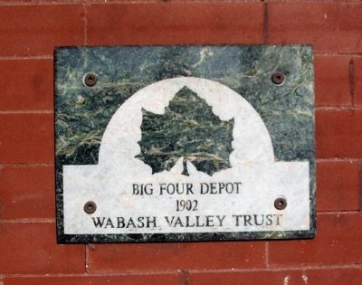
2. Wabash Trust Plaque
Photographed by Courtesy:: Carly C. Kindig, August 22, 2010
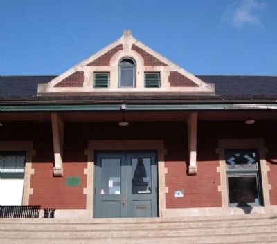
3. Wide View - - Big Four Depot Marker
Photographed by Courtesy:: Trevor Searcy, August 22, 2010
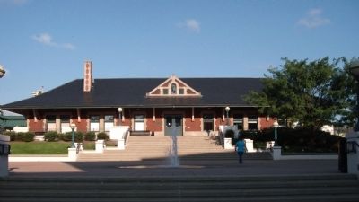
4. Front View - - Big Four Depot
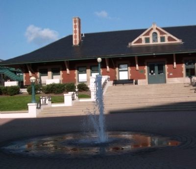
Photographed by Courtesy:: Carly C. Kindig, August 22, 2010
5. Fountain in Front - - Big Four Depot
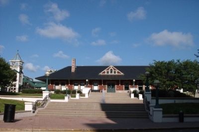
Photographed by Courtesy:: Trevor Searcy, August 22, 2010
6. Other View - - Big Four Depot
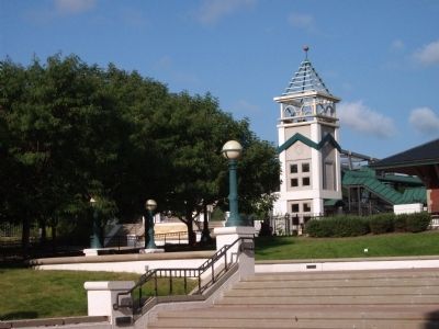
Photographed by Courtesy:: Trevor Searcy, August 22, 2010
7. Left of Big Four Depot
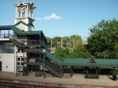
Photographed by Courtesy:: Trevor Searcy, August 22, 2010
8. Gantry Behind - - Big Four Depot
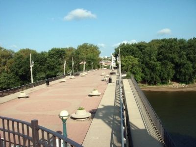
Photographed by Courtesy:: Trevor Searcy, August 22, 2010
9. View from behind the Big Four Depot
This pedestrian bridge over the Wabash River allows you walk to West Lafayette -from- Lafayette, Indiana.
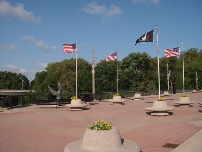
Photographed by Courtesy:: Trevor Searcy, August 22, 2010
10. Other View of the Pedestrian Bridge

Photographed by Courtesy:: Trevor Searcy, August 22, 2010
11. Construction and Instruction Plaque of " Millennium Sundial "
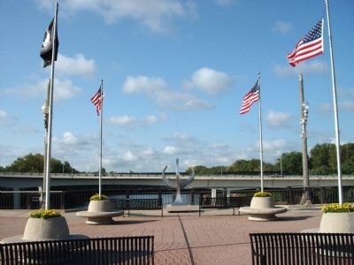
Photographed by Courtesy:: Trevor Searcy, August 22, 2010
12. " Millennium Sundial "
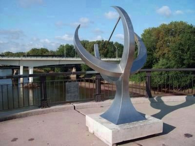
Photographed by Courtesy:: Trevor Searcy, August 22, 2010
13. Close-up - - " Millennium Sundial "
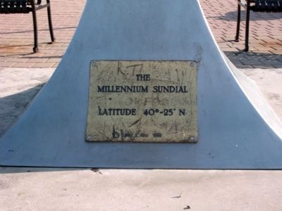
Photographed by Courtesy:: Carly C. Kindig, August 22, 2010
14. Base of " Millennium Sundial "
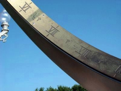
Photographed by Courtesy:: Carly C. Kindig, August 22, 2010
15. Time - - Noted by " Millennium Sundial "
The 'shadow' of time - indicator to the left.

Photographed by Courtesy:: Trevor Searcy, August 22, 2010
16. "Sonya L. Margerum - Fountain" - - West Lafayette Side of Pedestrian Bridge
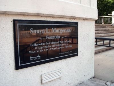
Photographed by Courtesy:: Trevor Searcy, August 22, 2010
17. Dedication Plaque - - " Sonya L. Margerum - Fountain "
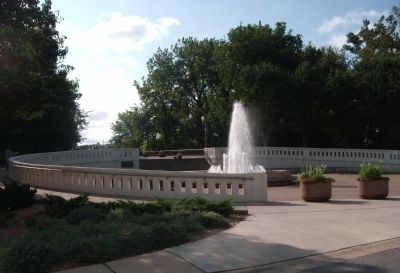
Photographed by Courtesy:: Trevor Searcy, August 22, 2010
18. Full View - - " Sonya L. Marerum - Fountain " - West Lafayette, Indiana
The "Big Four" Train Station of Lafayette is on the other end of this Pedestrian Bridge that goes over the Wabash River. (Enjoy the Walk..! !)
Credits. This page was last revised on June 16, 2016. It was originally submitted on August 23, 2010, by Al Wolf of Veedersburg, Indiana. This page has been viewed 1,562 times since then and 50 times this year. Photos: 1, 2, 3, 4, 5, 6, 7, 8, 9, 10, 11, 12, 13, 14, 15, 16, 17, 18. submitted on August 23, 2010, by Al Wolf of Veedersburg, Indiana. • Syd Whittle was the editor who published this page.
