High Point in Guilford County, North Carolina — The American South (South Atlantic)
High Point
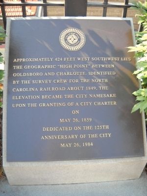
Approximately 424 feet west southwest lies the geographic “high point” between Goldsboro and Charlotte. Identified by the survey crew for the North Carolina Railroad about 1849, the elevation became the city namesake upon the granting of a city charter
May 26, 1859
Dedicated on the 125th
Anniversary of the city
May 26, 1984
Erected 1984.
Topics. This historical marker is listed in these topic lists: Exploration • Political Subdivisions • Railroads & Streetcars • Settlements & Settlers. A significant historical month for this entry is May 1830.
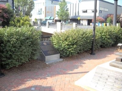
Location. 35° 57.444′ N, 80° 0.353′ W. Marker is in High Point, North Carolina, in Guilford County. Marker is at the intersection of North Main Street (Business U.S. 311) and West High Avenue, on the right when traveling south on North Main Street. Marker is located near the High Point Amtrak station. Touch for map. Marker is at or near this postal address: 100 West High Avenue, High Point NC 27260, United States of America. Touch for directions.
Other nearby markers. At least 8 other markers are within walking distance of this marker. The Plank Road Foreman (here, next to this marker); Plank Road (a few steps from this marker); Maxwell Reid "Max" Thurman (within shouting distance of this marker); World War I Memorial (within shouting distance of this marker); World War II Memorial (within shouting distance of this marker); Confederate Arms Factory (within shouting distance of this marker); High Point Veterans Memorial (within shouting distance of this marker); African Americans in World War II Memorial (within shouting distance of this marker). Touch for a list and map of all markers in High Point.
Credits. This page was last revised on December 20, 2023. It was originally submitted on August 26, 2010, by Bill Coughlin of Woodland Park, New Jersey. This page has been viewed 939 times since then and 26 times this year. Photos: 1, 2. submitted on August 26, 2010, by Bill Coughlin of Woodland Park, New Jersey.

