East Pennsboro Township near Summerdale in Cumberland County, Pennsylvania — The American Northeast (Mid-Atlantic)
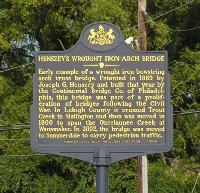
Henszey's Wrought Iron Arch Bridge
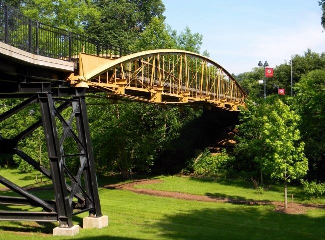
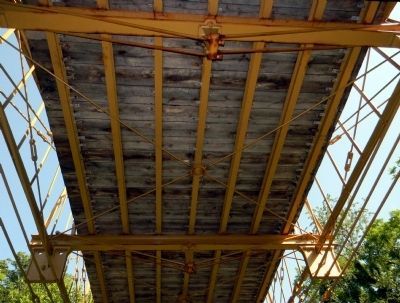
Early example of a wrought iron bowstring arch truss bridge. Patented in 1869 by Joseph G. Henszey and built that year by the Continental Bridge Co. of Philadelphia, this bridge was part of a proliferation of bridges following the Civil War. In Lehigh County it crossed Trout Creek in Slatington and then was moved in 1900 to span the Ontelaunee Creek at Wanamaker. In 2002, the bridge was moved to Summerdale to carry pedestrian traffic.
Erected 2003 by Pennsylvania Historical and Museum Commission.
Topics and series. This historical marker is listed in this topic list: Bridges & Viaducts. In addition, it is included in the Pennsylvania Historical and Museum Commission series list. A significant historical year for this entry is 1869.
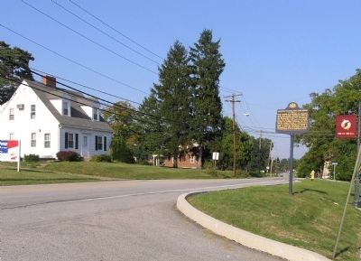
Location. 40° 18.323′ N, 76° 56.001′ W. Marker is near Summerdale, Pennsylvania, in Cumberland County. It is in East Pennsboro Township. Marker is at the intersection of Valley Road and A Street, on the right when traveling east on Valley Road. Touch for map. Marker is at or near this postal address: 561 Valley Rd, Enola PA 17025, United States of America. Touch for directions.
Other nearby markers. At least 8 other markers are within 3 miles of this marker, measured as the crow flies. Henszey's Wrought-Iron Bridge (about 300 feet away, measured in a direct line); Harrisburg (approx. 1.6 miles away); Old Harrisburg Academy / Dixon University Center (approx. 1.6 miles away); Zembo Shrine Temple (approx. 1.9 miles away); Italian Lake (approx. 2 miles away); Former William Penn High School (approx. 2 miles away); Dauphin County Civil War Memorial (approx. 2 miles away); Camp Curtin Fire Company No. 13 (approx. 2.4 miles away).
Also see . . . Henszey's Wrought-Iron Arch Bridge, Spanning Ontelaunee Creek at Kings Road,. Library of Congress website entry (Submitted on April 7, 2022, by Larry Gertner of New York, New York.)
Credits. This page was last revised on February 7, 2023. It was originally submitted on August 30, 2010, by PaulwC3 of Northern, Virginia. This page has been viewed 1,019 times since then and 9 times this year. Photos: 1, 2. submitted on August 30, 2010, by PaulwC3 of Northern, Virginia. 3, 4. submitted on June 19, 2011, by PaulwC3 of Northern, Virginia.


