Rhinebeck in Dutchess County, New York — The American Northeast (Mid-Atlantic)
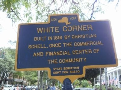
White Corner
Schell. Once the commercial
and financial center of
the community
Topics. This historical marker is listed in this topic list: Notable Places. A significant historical year for this entry is 1816.
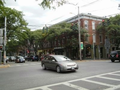
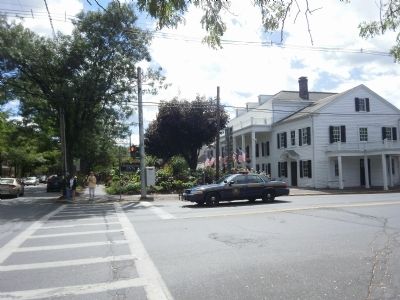
Location. 41° 55.622′ N, 73° 54.767′ W. Marker is in Rhinebeck, New York, in Dutchess County. Marker is at the intersection of Montgomery Street/Mill Street (U.S. 9) and East Market Street (New York State Route 308), on the right when traveling south on Montgomery Street/Mill Street. Touch for map. Marker is in this post office area: Rhinebeck NY 12572, United States of America. Touch for directions.
Other nearby markers. At least 8 other markers are within 3 miles of this marker, measured as the crow flies. Bogardus Land (within shouting distance of this marker); Landsman’s Kill (approx. 0.3 miles away); Westward on the Right (approx. half a mile away); Drayton Grant Park at Burger Hill (approx. 2 miles away); Violet Capital (approx. 2 miles away); On This Site Stood (approx. 2.1 miles away); Old Rhinebeck (approx. 2.4 miles away); Wilderstein (approx. 2.6 miles away). Touch for a list and map of all markers in Rhinebeck.
Also see . . . Rhinebeck (Village), New York. (Submitted on September 8, 2010, by Deb Hartshorn of Burlington County, New Jersey.)
Credits. This page was last revised on June 16, 2016. It was originally submitted on September 8, 2010, by Deb Hartshorn of Burlington County, New Jersey. This page has been viewed 976 times since then and 35 times this year. Photos: 1, 2, 3. submitted on September 8, 2010, by Deb Hartshorn of Burlington County, New Jersey. • Bill Pfingsten was the editor who published this page.


