Near Duffield in Scott County, Virginia — The American South (Mid-Atlantic)
Scott County / Lee County
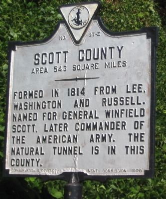
Scott County. Area 543 square miles. Formed in 1814 from Lee, Washington and Russell. Named for General Winfield Scott, later commander of the American Army. The natural tunnel is in this county.
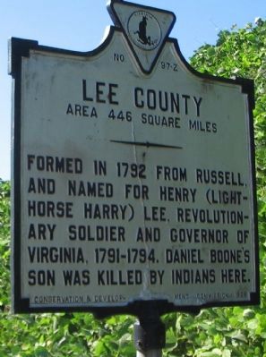
Lee County. Area 446 square miles. Formed in 1792 from Russell, and named for Henry (Light Horse Harry) Lee, Revolutionary soldier and governor of Virginia, 1791-1794. Daniel Boone's son was killed by Indians here.
Erected 1928 by Conservation & Development Commission. (Marker Number Z-97.)
Topics and series. This historical marker is listed in this topic list: Political Subdivisions. In addition, it is included in the Virginia Department of Historic Resources (DHR) series list. A significant historical year for this entry is 1814.
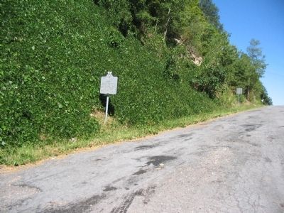
Location. 36° 42.641′ N, 82° 52.521′ W. Marker is near Duffield, Virginia, in Scott County. Marker is at the intersection of Daniel Boone Trail (U.S. 58) and County Route 726, on the right when traveling west on Daniel Boone Trail. Touch for map. Marker is in this post office area: Duffield VA 24244, United States of America. Touch for directions.
Other nearby markers. At least 8 other markers are within 8 miles of this marker, measured as the crow flies. Fanny Dickenson Scott Johnson (approx. 1.9 miles away); Death of Boone's Son (approx. 1.9 miles away); Long Hunters (approx. 3.1 miles away); Lee County / Scott County (approx. 4.7 miles away); Members of Congress (approx. 6.6 miles away); Carter’s Fort (approx. 6.8 miles away); a different marker also named Carter’s Fort (approx. 6.9 miles away); The Natural Tunnel Route (approx. 7.3 miles away). Touch for a list and map of all markers in Duffield.
Credits. This page was last revised on July 9, 2021. It was originally submitted on September 20, 2010, by Craig Swain of Leesburg, Virginia. This page has been viewed 914 times since then and 21 times this year. Photos: 1, 2, 3, 4. submitted on September 20, 2010, by Craig Swain of Leesburg, Virginia.


