Cheltenham in Prince George's County, Maryland — The American Northeast (Mid-Atlantic)
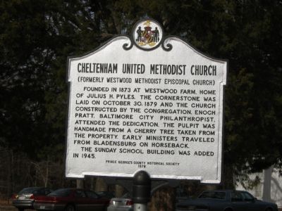
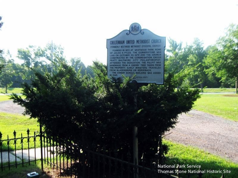
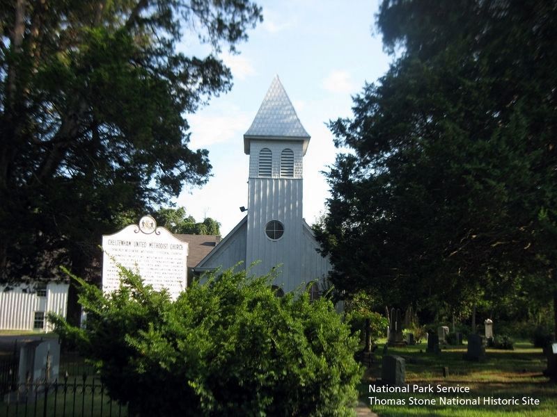
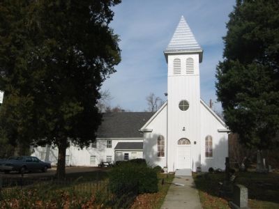
Cheltenham United Methodist Church
(Formerly Westwood Methodist Episcopal Church)
The Sunday School building was added in 1945.
Erected 1978 by Prince George's County Historical Society.
Topics. This historical marker is listed in this topic list: Churches & Religion. A significant historical month for this entry is October 1718.
Location. 38° 44.218′ N, 76° 49.489′ W. Marker is in Cheltenham, Maryland, in Prince George's County. Marker is at the intersection of Crain Highway (U.S. 301) and Frank Tippett Road, on the right when traveling south on Crain Highway. Marker is on the driveway to the church, about 100 feet from Crain Highway (US 301). Touch for map. Marker is in this post office area: Cheltenham MD 20623, United States of America. Touch for directions.
Other nearby markers. At least 8 other markers are within 4 miles of this marker, measured as the crow flies. Church of the Atonement, 1875 (approx. 0.2 miles away); Mount Airy (approx. 2 miles away); Stables/Tack House (approx. 2.6 miles away); Bellefields (approx. 2.7 miles away); Slaves’ Infirmary [on His Lordship’s Kindness] (approx. 3 miles away); His Lordship’s Kindness (approx. 3.2 miles away); St. Simon's Episcopal Mission (approx. 3.6 miles away); St. Thomas' Parish Church (approx. 3.6 miles away).
Also see . . .
1. Cheltenham United Methodist Church, Maryland Inventory of Historic Properties. (Submitted on August 8, 2019.)
2. Cheltenham United Methodist Church History. (Submitted on August 8, 2019.)
Credits. This page was last revised on November 22, 2019. It was originally submitted on November 17, 2007, by F. Robby of Baltimore, Maryland. This page has been viewed 1,481 times since then and 17 times this year. Photos: 1. submitted on November 17, 2007, by F. Robby of Baltimore, Maryland. 2, 3. submitted on August 8, 2019. 4. submitted on November 17, 2007, by F. Robby of Baltimore, Maryland.


