Near Evanston in Uinta County, Wyoming — The American West (Mountains)
Almy
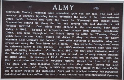
Photographed by Bryan R. Bauer, September 22, 2010
1. Almy Marker
this page online
Topics. This historical marker is listed in these topic lists: Industry & Commerce • Railroads & Streetcars • Settlements & Settlers. A significant historical month for this entry is January 1886.
Location. 41° 17.636′ N, 110° 58.661′ W. Marker is near Evanston, Wyoming, in Uinta County. It is on State Highway 89 2.6 miles north of Front Street (State Highway 150), on the right when traveling north. Touch for map. Marker is at or near this postal address: 1730 Wyoming Highway 89, Evanston WY 82930, United States of America. Touch for directions.

Regionally, this marker is in the Uinta Mountains and in the Westward Expansion Trails Region. It is also in the American Mountain West. Globally, it is in North America, the Rocky Mountains, the Western Hemisphere, the Western World,
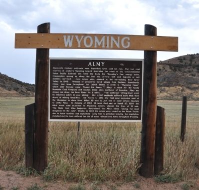
Photographed by Bryan R. Bauer, September 22, 2010
2. Almy Marker
Other nearby markers. At least 8 other markers are within 3 miles of this marker, measured as the crow flies: Uinta County Library (Carnegie Library) 1906 (approx. 1.9 miles away); Evanston Downtown Historic District (approx. 1.9 miles away); Evanston (approx. 2 miles away); Uinta County Courthouse (approx. 2 miles away); Lincoln Highway — Sunset Cabins (approx. 2.1 miles away); First Brick Church (approx. 2.1 miles away); The Wyoming State Hospital (approx. 2½ miles away); Bear River Watershed (approx. 3.1 miles away). Touch for a list and map of all markers in Evanston.
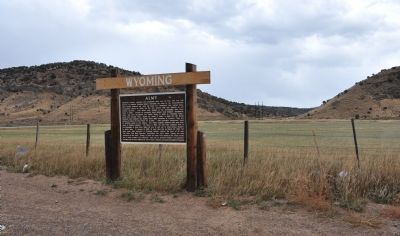
Photographed by Bryan R. Bauer, September 22, 2010
3. Almy Marker
Credits. This page was last revised on September 4, 2020. It was originally submitted on October 4, 2010, by Bryan R. Bauer of Kearns, Ut 84118. This page has been viewed 4,744 times since then and 335 times this year. Photos: 1, 2, 3. submitted on October 4, 2010, by Bryan R. Bauer of Kearns, Ut 84118. • Syd Whittle was the editor who published this page.
