Springerville in Apache County, Arizona — The American Mountains (Southwest)
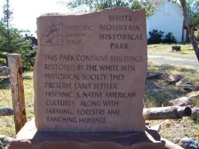
White Mountain Historical Park
Erected 2002 by Round Valley Positive Action Tourism Committee and Springerville-Eagar Chamber of Commerce. (Marker Number 3.)
Topics and series. This historical marker is listed in this topic list: Notable Places. In addition, it is included in the Arizona, Pistols, Plows and Petticoats Historic Driving Tour series list.
Location. 34° 7.745′ N, 109° 16.81′ W. Marker is in Springerville, Arizona, in Apache County. Marker is at the intersection of East Mohave Street and South Zuni Street, on the left when traveling west on East Mohave Street. Touch for map. Marker is at or near this postal address: 589 East Mojave Street, Springerville AZ 85938, United States of America. Touch for directions.
Other nearby markers. At least 8 other markers are within walking distance of this marker. Springerville Schoolhouse (approx. ¼ mile away); Slaughter Family Cemetary (approx. ¼ mile away); Arizona Cooperative Mercantile Institution (approx. 0.3 miles away); Becker's Transcontinental Garage (approx. 0.4 miles away); Madonna of the Trail (approx. 0.4 miles away); White Mountain Hospital (approx. 0.4 miles away); Springerville World War I Memorial (approx. 0.4 miles away); James Hale Shooting (approx. 0.4 miles away). Touch for a list and map of all markers in Springerville.
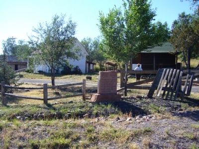
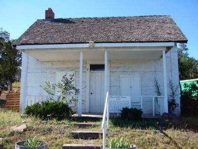
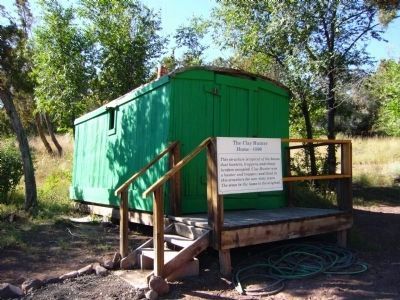
More about this marker. This is Marker Stop #3 on the Pistols, Plows and Petticoats Historic Driving Tour and assembled here by the White Mountain Historical Society are a group of historic buildings and artifacts representing pioneer life in Round Valley.
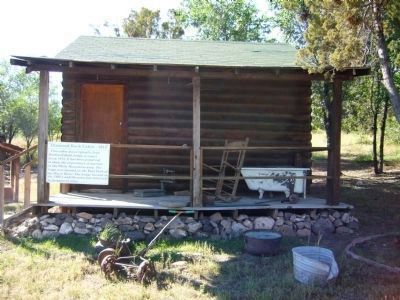
Photographed By Bill Kirchner, September 24, 2010
3. Diamond Rock Cabin
An early cabin from the Diamond Rock Lodge which operated on the Black River in the White Mountains during the 1920's, 30's and 40's. These rustic cabins were popular with tourists who came over dirt roads developed by ranchers and merchants.
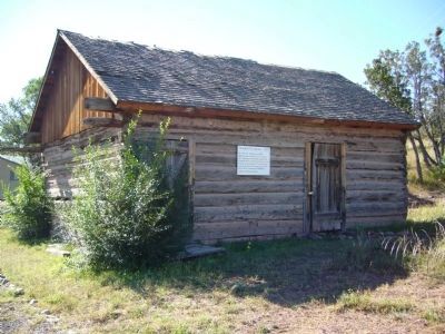
Photographed By Bill Kirchner, September 24, 2010
6. Becker Granary
This building was next to the Becker Brothers store beside the Little Colorado River. It housed one-hundred pound sacks of grain to be sold to local farmers or taken in payment from them for items purchased in the general merchandise store.
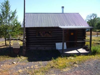
Photographed By Bill Kirchner, September 24, 2010
7. U.S. Forest Service Ranger Station
This early day US Forest Service ranger station was relocated from Pat Knoll in the mountains in 1998. Its original stone chimney still stands at its original site. The cabin dates from 1913 and has one-foot thick log walls. The resident ranger made $50 a month.
Credits. This page was last revised on June 16, 2016. It was originally submitted on October 5, 2010, by Bill Kirchner of Tucson, Arizona. This page has been viewed 1,707 times since then and 35 times this year. Photos: 1, 2, 3, 4, 5, 6, 7. submitted on October 5, 2010, by Bill Kirchner of Tucson, Arizona. • Syd Whittle was the editor who published this page.
