Landrum in Greenville County, South Carolina — The American South (South Atlantic)
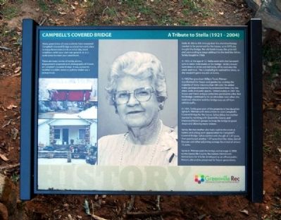
Campbell's Covered Bridge
A Tribute to Stella (1921-2004)
Inscription.
Many generations of area residents have treasured Campbell's Covered Bridge as a local icon and place to enjoy Beaverdam Creek on a hot day, meet neighbors while your corn is ground, or as a quiet place to court your sweetheart.
There are many stories of family picnics, engagement proposals and photographs of friends at Campbell's Covered Bridge. It was a place to weather a sudden storm or pull the motor out a pickup truck.
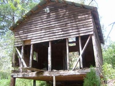
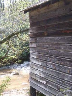
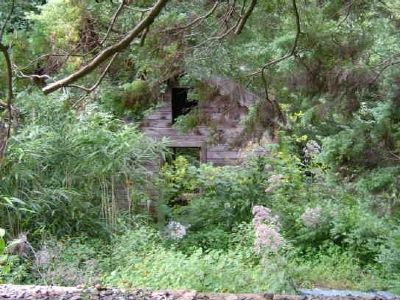
Stella M. Atkins felt strongly that the cherished bridge needed to be preserved for the future, so in 1975 she bought the bridge, the old Smith house, the grist mill and surrounding acreage adding to it the land the Atkins family bought in 1968.
In 1933, at the age of 12, Stella went with the Campbell girls to water their mules at the bridge. Stella's mount bent down to drink and slid Stella off its neck into the creek and mud. The Campbell girls washed her dress, so she wouldn't get in trouble at home.
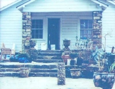
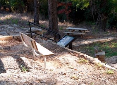
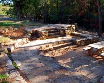
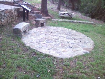
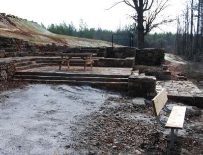
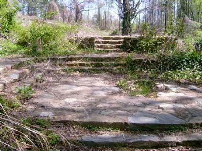
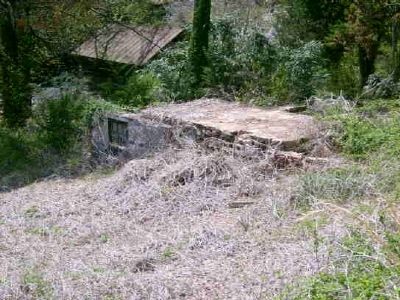
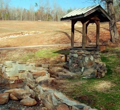
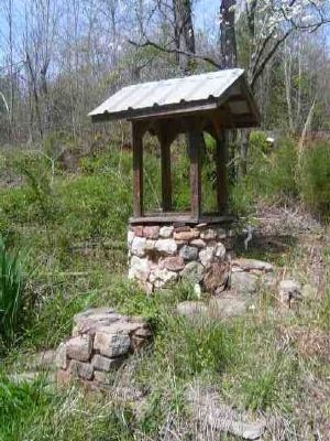
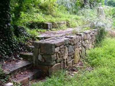
In 1922 her grandson William Travis Pittman transformed the house and garden by creating the majority of stone masonry that still exist. He added many geological surprises by embedding them into the steps, walls and patio spaces. Unfortunately in 2001 the house and Travis' antique collection perished in a fire. But the bridge continued to be an attraction even when the road was relocated and the bridge was cut off from vehicle traffic.
In 1991, Stella gave part of the property to her daughter, Sylvia A. Pittman, with instructions to save Campbell's Covered Bridge for the future. Sylvia did as her mother wanted by working with Greenville County and interested historic groups to keep the bridge in good shape and allowing many visitors.
Sylvia, like her mother also has a spill in the creek at twelve and a long term appreciation for Campbell's Covered Bridge. Sylvia started with the gift of 1.47 acres, then purchased another 1.47 acres from her sister, Genell Duncan and other adjoining acreage for a total of almost 15 acres.
Sylvia A. Pittman sold the bridge and acreage in 2008 to the Greenville County Recreation District with instructions for it to be developed as an official public historic site and be preserved for future generations.
Erected 2010 by Greenville County Recreation District.
Topics and series. This historical marker is listed in this topic list: Bridges & Viaducts. In addition, it is included in the Covered Bridges series list. A significant historical year for this entry is 1975.
Location. 35° 5.151′ N, 82° 15.817′ W. Marker is in Landrum, South Carolina, in Greenville County. Marker can be reached from County Road
114. Touch for map. Marker is in this post office area: Landrum SC 29356, United States of America. Touch for directions.
Other nearby markers. At least 10 other markers are within 6 miles of this marker, measured as the crow flies. A different marker also named Campbell's Covered Bridge (within shouting distance of this marker); a different marker also named Campbell’s Covered Bridge (within shouting distance of this marker); Cherokee Foothills (approx. 3.4 miles away); William Few Bridge (approx. 5 miles away); To the Glory of God (approx. 5.2 miles away); O'Neal Village (approx. 5.7 miles away); David Barton Home Site (approx. 5.7 miles away); Holly Springs (approx. 5.9 miles away); Holly Springs Rock Wall (approx. 5.9 miles away); Holly Springs School (approx. 5.9 miles away). Touch for a list and map of all markers in Landrum.
Also see . . .
1. Campbell's Covered Bridge. Campbell’s Covered Bridge, built in 1909, is significant for its role in transportation in early twentieth century Greenville County and as an excellent intact example of a Howe truss covered bridge, the only surviving covered bridge in the state. (Submitted on November 2, 2010, by Brian Scott of Anderson, South Carolina.)
2. Campbell's Covered Bridge. Campbell's Covered Bridge is a covered bridge in South Carolina, located in northeastern Greenville County near the small town of
Gowensville. (Submitted on November 2, 2010, by Brian Scott of Anderson, South Carolina.)
3. Greenville County Recreation District: Campbell Covered Bridge. Constructed in 1909 Campbell’s Covered Bridge is the only remaining covered bridge in the State of South Carolina. (Submitted on November 2, 2010, by Brian Scott of Anderson, South Carolina.)
Additional commentary.
1. Campbell's Covered Bridge
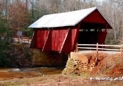
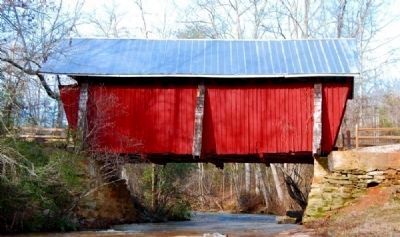
Campbell’s Covered Bridge, built in 1909, is located in rural north Greenville County, South Carolina, near Gowansville, and crosses Beaver Dam Creek on Campbell Bridge Road. This wooden bridge with a metal roof is 35’ long by 12’ wide.
It sits on a rock foundation with a concrete cap, as masons supplemented existing rock formations on each side of Beaver Dam Creek as load-bearing abutments and partial foundations. Concrete was poured atop the rock formations, and 12” x 12” heart-of-pine sills were mounted on the concrete cap with 4.5’ iron rods. Once the two trusses were in final position, they were braced or tied in place for the remaining construction of the bridge decking, sides and roof. Buttresses were then built at each end of the bridge and at the center point of each truss. They rested on the main timbers carrying the floor load and extended three feet past the sides of the bridge to provide stability along the weak axis of the truss.
Campbell’s Covered Bridge is a four-span Howe truss bridge with counter braces. The two outer spans are 9’ long and the two inner spans are 8’ long. Each truss is 4” x 8”, and each counter brace is made from 2’ x 8’ pine boards nailed together in an interlocking pattern. Vertical tie rods calling kingposts, made from 1” diameter iron rods, are in between each span, tying the top and bottom chords together. This method of truss construction absorbs and transfers a passing vehicle’s weight to the rock abutments on each end of the bridge.
The builder, Charles Irwin Willis (1878-1966), allowed the truss ends to follow the natural lay of the land and built the rest of the bridge to fit; as a result – and according to Willis’s design – the bridge is neither square nor plumb.
The siding of the bridge consists of 1” x 6” pine boards with 1’ battens covering the joints. Siding covers the three wooden buttresses that jut out on each side of the deck, forming a triangular shape and sheathed with cedar shakes. A gable roof of five-V galvanized steel covers the structure. The bridge is open at both ends, with a gap at the top between the siding and roof to allow for air circulation. The deck is made from 2” x 6” pine boards. The trusses are exposed on the interior of the bridge.
In 1951, Pleasant Hill Road was rerouted, and the historic roadbed was renamed Campbell Covered Bridge Road. It remained a gravel-over-clay road until it was resurfaced by tar and gravel in 1987. In 1964, the bridge siding, deck, and roof were repaired and the bridge was painted, most likely for the first time. Local traffic continued to use the bridge, but most traffic used the rerouted Pleasant Hill Road instead. In 1984, Greenville County closed the bridge to all vehicular traffic.
Retaining walls were built and the dirt was dumped up against each end of the bridge, in effect creating two dead end roads. By 1990, the bridge needed renovation once more; worn or rotten boards were replaced with fresh rough-cut pine boards and the tin roof was replaced with a galvanized steel roof.
Since the bridge was weighed between 85,000 and 100,000 pounds, a 50-ton jack was used to life the bridge off the foundation to replace the large sills at each end with new sills of pressure treated lumber. Cracks between the pressure-treated pieces allow air to circulate, preventing any buildup of moisture in the future. The bridge was repainted at that time as well.
Campbell’s Covered Bridge, built in 1909, is eligible for listing in the National Register of Historic Places under Criterion A for
its role in transportation in early twentieth century Greenville County and the “Dark Corner” region of northwestern South Carolina, and under Criterion C as an excellent intact example of a Howe truss covered bridge and the only surviving covered bridge in the state.
Additional Information
This bridge was one of four covered bridges in this part of northern Greenville County in the first decade of the twentieth century; before this time, the only safe crossing over Beaver Dam Creek was a narrow rock shoal. Morrow’s Covered Bridge and McClain’s Covered Bridge spanning the Middle Tyger River on Pleasant Hill Road and S.C. Highway 14, respectively, and a third unnamed covered bridge spanned the South Tyger River between S.C. Highways 101 and 253. Campbell’s Covered Bridge was the largest and most sophisticated of the four.
The construction of this bridge connected several rural communities and small towns in the immediate vicinity, so that a 25-mile trip which had once taken a full day before the bridge was completed could be made in about an hour afterwards.
Charles Irwin Willis (1878-1966), an accomplished local builder in the northern part of Greenville County, built the bridge. Long and large timbers required for the bridge exceeded the capability of most sawmills, and had to be sawed by a nearby sawmill owned and operated by James M. Suddeth. When completed, the bridge was named for Alexander Lafayette Campbell (1836-1920), local landowner and millwright who lived at the site and operated a corn grist mill about 50 feet downstream from the bridge.
William Howe, of Spencer, Massachusetts, patented his new wood and iron rod truss design in 1840, and then extended the patent with improvements in 1850. His truss was the first to be designed using mathematical stress analysis. The truss consists of wooden upper and lower chords, which are linked together with sets of dual iron rods and wooden braces and counter braces. The braces and counter braces are butted against the chords on angle blocks. The iron rods are adjusted with large nuts.
The Howe truss design is the reverse of the more common Pratt truss design. In the Pratt design, diagonal members all slant toward the closest bridge end, so they are subject to compressive forces. This design requires large steel members, making it an uneconomical choice in many instances. The Howe truss, originally designed to combine timber compression members and vertical iron rod tension members, was more efficient than the Pratt truss for building longer bridge spans carrying heavy loads. It was adopted by the railroad industry and eventually became one of the most widely used trusses for steel railroad bridges.
Plans are underway for Campbell’s Covered Bridge, the last extant covered bridge in South Carolina, to become the focal point of a new 15-acre passive park planned by the Greenville County Recreational District. (Source: National Register nomination form.)
— Submitted November 2, 2010, by Brian Scott of Anderson, South Carolina.
2. Historic Covered Bridge gets TLC
The Greenville News
By Anna Lee, Staff writer
July 4, 2009
Walking beneath its steep arched roof, timbers crisscrossing overhead, it's possible to see a century's worth of declarations of love — the bold initials and crooked hearts that are carved into the wood beams of Campbell's Covered Bridge in northern Greenville County.
Located off State 414, the span is the last remaining covered bridge in South Carolina. The Greenville County Recreation District is taking note of the bridge's age and rarity by restoring its roof and creating a park with a $94,000 project that's expected to be complete by mid-October.
Paul Ellis, recreation planning director, said the site will have historical markers, a parking lot and picnic tables overlooking Beaverdam Creek.
The bridge will be anchored by two meadows, one next to the road and the other on a hillside, Ellis said.
He added that while the bridge is in good shape because of upkeep and renovations over the past 40 years, its roof has rusty panels that need to be restored.
Measuring 35 feet long and 12 feet wide, Campbell's Covered Bridge was built in 1909 after a torrential summer rainstorm the previous year washed out nearly every bridge in Greenville County, Ellis said. A roof was added to the bridge to protect the wood floor from water damage.
Once complete, the bridge will be a “piece of the historical site pie that by itself is maybe not that significant, but when you add it to other sites like Poinsett Bridge and Hagood House, you end up with a nice little collection of history in northern Greenville County,” Ellis said.
As work progresses on the bridge, the recreation district will begin breaking ground at the Pelham Mill site off State 14 in Greer, where the first textile mill in Greenville County was built in 1820.
Centered on a stonework dam built in the 19th century, the park will feature walking trails, overlooks of the Enoree River and a 3.5-acre dog park near the entrance of the site, where a large grassy knoll that's shaded by several large oak trees now stands.
The recreation district will work in partnership with Renewable Water Resources (formerly Western Carolina Sewer Authority) and the Greenville County Historic Preservation Commission to finish the estimated $200,000 project by its fall opening date, Ellis said.
Greenville County Council recently allotted $100,000 in hospitality tax money for the project, $12,000 of which has been spent to restore the 11 windows of the mill office building, which served as the Pelham post office from the 1930s until 1996.
The 990-square-foot structure will have a new roof installed, and the interior will be modernized to be used for private rentals and meetings, said Rick Owens, a member of the Historic Preservation Commission.
Dan Powell, coordinator of Keep Greenville County Beautiful, said the project could soon receive a $10,000 beautification grant from Keep America Beautiful.
The money would be used to plant trees and native plants at the site, Powell said.
— Submitted November 2, 2010, by Brian Scott of Anderson, South Carolina.
Credits. This page was last revised on June 16, 2016. It was originally submitted on November 2, 2010, by Brian Scott of Anderson, South Carolina. This page has been viewed 1,701 times since then and 46 times this year. Photos: 1, 2, 3, 4, 5, 6, 7. submitted on November 2, 2010, by Brian Scott of Anderson, South Carolina. 8. submitted on May 9, 2011, by Stanley and Terrie Howard of Greer, South Carolina. 9, 10. submitted on February 15, 2010, by Brian Scott of Anderson, South Carolina. 11, 12. submitted on November 2, 2010, by Brian Scott of Anderson, South Carolina. 13. submitted on February 15, 2010, by Brian Scott of Anderson, South Carolina. 14, 15, 16, 17, 18. submitted on November 2, 2010, by Brian Scott of Anderson, South Carolina. 19, 20. submitted on February 15, 2010, by Brian Scott of Anderson, South Carolina.
