Bridgeport in Mono County, California — The American West (Pacific Coastal)
Masonic
Inscription.
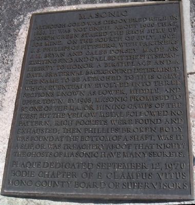
Although gold was discovered here in 1860, it was not until about 1900 that Joseph Green staked the rich Jump Up Joe Mine. On the Fourth of July, 1902, J. S. Bryan and Caleb Dorsey made an exciting find and called it the Pittsburg-Liberty to honor a birthplace and a date. Fraternal background determined the name to be attached to this camp which eventually evolved into three sections known as Lower, Middle and Upper Town. In 1908, Masonic promised to be one of the major mining camps of the West, but the yellow metal followed no pattern. Roch pockets were found and exhausted, then Phillips' broken body was found at the bottom of a shaft. Was it a slip, or was treachery afoot that night?
The ghosts of Masonic have many secrets.
Erected 1970 by Bodie Chaper, E Clampus Vitus.
Topics and series. This historical marker is listed in these topic lists: Industry & Commerce • Settlements & Settlers. In addition, it is included in the E Clampus Vitus series list. A significant historical month for this entry is July 1902.
Location. 38° 21.983′ N, 119° 7.108′ W. Marker is in Bridgeport, California, in Mono County. Marker is on Masonic Road, 0.3 miles west of Bodie Masonic Road, on the right when traveling west. 13 miles from Bridgeport, turn onto Masonic Road, a dirt road off Highway 182 and drive 9 miles, staying to the left when you get to the junction of Masonic Road and the Bodie Masonic Road. Touch for map. Marker is in this post office area: Bridgeport CA 93517, United States of America. Touch for directions.
Other nearby markers. At least 8 other markers are within 10 miles of this marker, measured as the crow flies. East Walker Toll House (approx. 5.2 miles away); First Bridgeport Courthouse (approx. 9˝ miles away); Old County Jail (approx. 9.6 miles away); "Bridgeport Inn" (approx. 9.7 miles away); Mono County Memorial Hall (approx. 9.7 miles away); Bridgeport Chronicle-Union (approx. 9.7 miles away); Frontier Justice (approx. 9.7 miles away); Bridgeport Elementary School (approx. 9.7 miles away). Touch for a list and map of all markers in Bridgeport.
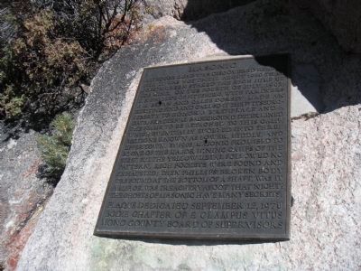
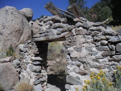
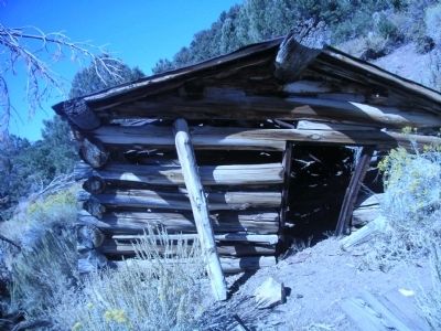
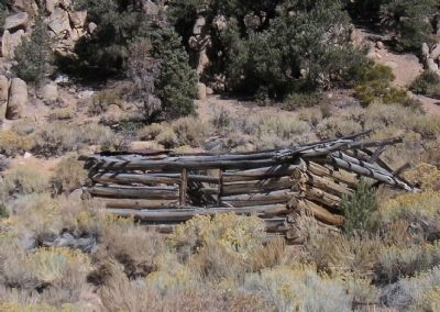
More about this marker. Marker was put up in 1970 to the left of the Rock Cabin in Lower Masonic. Since that time the brass marker has been vandalized with 2 bullet holes.
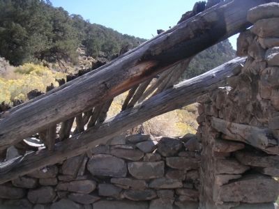
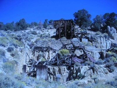
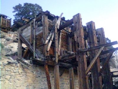
Regarding Masonic. Masonic is a turn of the century gold mine town that is slowly decaying. There are still recognizable log cabins in the area, but most have fallen down.
Also see . . . Masonic. Ghost Towns entry. (Submitted on September 16, 2020, by Larry Gertner of New York, New York.)
Additional keywords. Mining
Credits. This page was last revised on September 16, 2020. It was originally submitted on November 7, 2010, by Lester J Letson of Fresno, California. This page has been viewed 1,007 times since then and 35 times this year. Photos: 1, 2, 3, 4, 5, 6, 7, 8, 9. submitted on November 7, 2010, by Lester J Letson of Fresno, California. • Syd Whittle was the editor who published this page.
