Huntsville in Madison County, Alabama — The American South (East South Central)
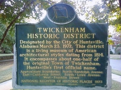
Twickenham Historic District
Approximate boundaries:
North ~ Randolph Avenue; East ~ California Street; South ~ Lowe Avenue; West ~ Franklin Street
National Register of Historic Places 1973
Erected 1973 by Alabama Historical Association.
Topics and series. This historical marker is listed in this topic list: Settlements & Settlers. In addition, it is included in the Alabama Historical Association series list. A significant historical date for this entry is March 23, 1803.
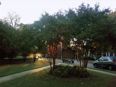
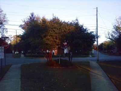
Location. 34° 44.083′ N, 86° 34.655′ W. Marker is in Huntsville, Alabama, in Madison County. Marker is at the intersection of Randolph Avenue SE and White Street SE, on the left when traveling east on Randolph Avenue SE. Located in the southwest corner of the intersection near the Annie Merts Center. Touch for map. Marker is at or near this postal address: 600 Randolph Avenue SE, Huntsville AL 35801, United States of America. Touch for directions.
Other nearby markers. At least 8 other markers are within walking distance of this marker. Cabaniss Home / Dr. Francis Cabaniss Roberts (1916-2000) (about 400 feet away, measured in a direct line); Site of Green Academy (about 500 feet away); Huntsville Female Seminary (about 600 feet away); Maple Hill Cemetery (approx. 0.2 miles away); Huntsville Meridian (approx. 0.2 miles away); Thomas Bibb (approx. 0.2 miles away); a different marker also named Thomas Bibb (approx. 0.2 miles away); Robert Miller Patton (approx. ¼ mile away). Touch for a list and map of all markers in Huntsville.
Credits. This page was last revised on June 16, 2016. It was originally submitted on November 11, 2010, by Lee Hattabaugh of Capshaw, Alabama. This page has been viewed 812 times since then and 36 times this year. Photos: 1, 2, 3. submitted on November 11, 2010, by Lee Hattabaugh of Capshaw, Alabama. • Bill Pfingsten was the editor who published this page.


