El Paso in El Paso County, Texas — The American South (West South Central)
The City of El Paso / Ciudad Juarez, Mexico
Inscription.
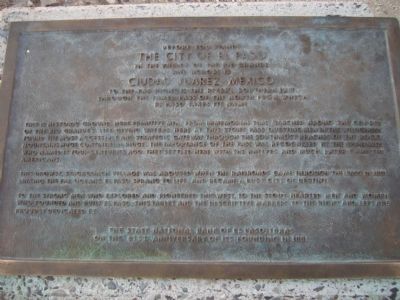
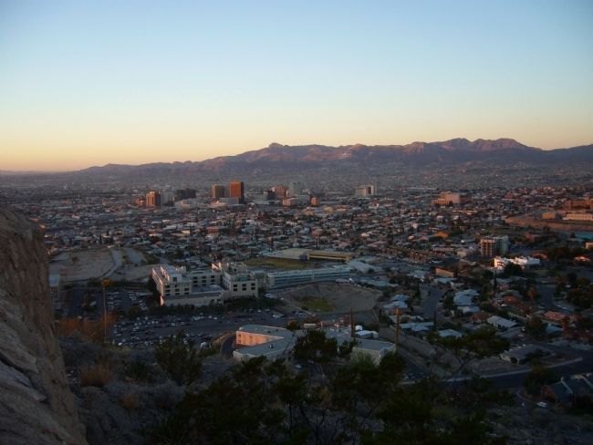
The City of El Paso
in the valley of the Rio Grande
and across is
Ciudad Juarez, Mexico
To the far right is the river's southern exit
through the famed Pass of the North from which
El Paso takes its name.
This is historic ground. Here primitive men, from immemorial time, marched along the course of the Rio Grande's life giving waters. Here at this stony pass questing men in the wilderness found the most accessible and strategic gateway through the south most reaches of the Rocky Mountains huge continental ridge. The importance of the pass was recognized by the Spaniards who named it four centuries ago. They settled here with the natives and much later came the Americans.
This drowsy, stagecoach village was aroused when the railroads came through the pass in 1881 linking the far oceans. El Paso sprang to life, and became a busy city of destiny.
To the strong men who explored and pioneered this west, to the stout-hearted men and women who founded and built El Paso, this tablet and the descriptive markers to the right and left are proudly dedicated by:
on the 81st anniversary of its founding in 1881.
Erected 1962 by The State National Bank of El Paso.
Topics. This historical marker is listed in this topic list: Notable Places. A significant historical year for this entry is 1881.
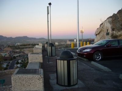
Location. 31° 46.953′ N, 106° 28.796′ W. Marker is in El Paso, Texas, in El Paso County. Marker is on Scenic Drive, on the right when traveling east. Touch for map. Marker is at or near this postal address: 2208 Scenic Drive, El Paso TX 79902, United States of America. Touch for directions.
Other nearby markers. At least 8 other markers are within walking distance of this marker. Texas Western College/ The Peace Grove (here, next to this marker); Mount Cristo Rey/ The Gadsden Purchase/ El Paso Smelting Works (here, next to this marker); Bien Venido! (here, next to this marker); The Chamizal Settlement (here, next to this marker); The Rio Grande Irrigation Project (a few steps from this marker); The Franklin Mountains (a few steps from this marker); The Rainmakers of 1891 (a few steps from this marker); El Paso Lower Valley Missions/ Cordova Island/ The City and County of El Paso (a few steps from this marker). Touch for a list and map of all markers in El Paso.
Credits. This page was last revised on June 16, 2016. It was originally submitted on November 14, 2010, by Bill Kirchner of Tucson, Arizona. This page has been viewed 842 times since then and 16 times this year. Photos: 1, 2, 3. submitted on November 14, 2010, by Bill Kirchner of Tucson, Arizona. • Syd Whittle was the editor who published this page.


