Demopolis in Marengo County, Alabama — The American South (East South Central)
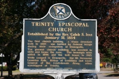
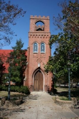
Trinity Episcopal Church
Established by the Rev. Caleb S. Ives
— January 31, 1834 —
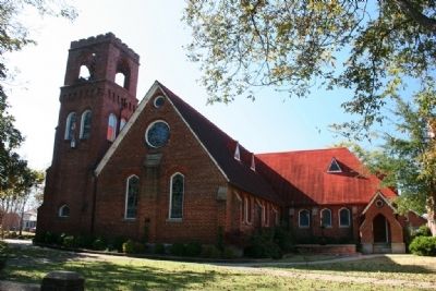
The present church building was erected in 1870 and forms the nave. The transepts were added in 1896 and the bell tower in 1910.
While camped in Demopolis, the Rt. Reverend Leonidas Polk, Bishop of Louisiana and Lieut General of the Confederate Army, often worshipped at Trinity.
Erected 1976 by Alabama Historical Association.
Topics and series. This historical marker is listed in this topic list: Churches & Religion. In addition, it is included in the Alabama Historical Association series list. A significant historical year for this entry is 1857.
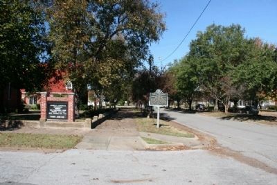
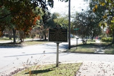
Location. 32° 31.169′ N, 87° 50.341′ W. Marker is in Demopolis, Alabama, in Marengo County. Marker is at the intersection of North Main Avenue and West Lyon Street, on the right when traveling south on North Main Avenue. Touch for map. Marker is at or near this postal address: 401 North Main Avenue, Demopolis AL 36732, United States of America. Touch for directions.
Other nearby markers. At least 8 other markers are within walking distance of this marker. Temple B’Nai Jeshurun (about 300 feet away, measured in a direct line); Marengo County Confederate Monument (about 400 feet away); Bluff Hall (about 400 feet away); The Demopolis Opera House / Lillian Hellman And (about 600 feet away); White Bluff (about 700 feet away); Alabama Cattlemen’s Association (approx. 0.2 miles away); First Presbyterian Church (approx. 0.2 miles away); The Demopolis Theater District (approx. ¼ mile away). Touch for a list and map of all markers in Demopolis.
Credits. This page was last revised on June 16, 2016. It was originally submitted on November 15, 2010, by Timothy Carr of Birmingham, Alabama. This page has been viewed 712 times since then and 36 times this year. Photos: 1, 2, 3, 4, 5. submitted on November 15, 2010, by Timothy Carr of Birmingham, Alabama. • Bill Pfingsten was the editor who published this page.
