Mount Pleasant Academy
Side A
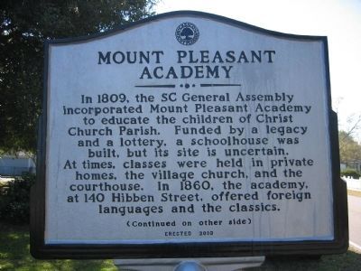
In 1809, the SC General Assembly incorporated Mount Pleasant Academy to educate the children of Christ Church Parish. Funded by a legacy and a lottery, a schoolhouse was built, but its site is uncertain. At times, classes were held in private homes, the village church, and the courthouse. In 1860, the academy, at 140 Hibben Street, offered foreign languages and the classics.
Side B
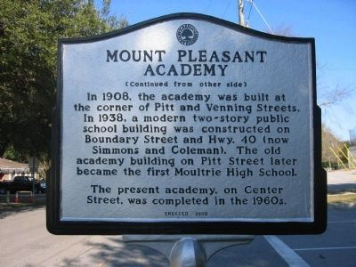
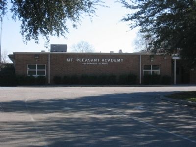
In 1908, the academy was built at the corner of Pitt and Venning Streets. In 1938, a modern two-story public school building was constructed on Boundary Street and Hwy. 40 (now Simmons and Coleman). The old academy building on Pitt Street later became the first Moultrie High School. The present academy, on Center Street, was completed in the 1960s.
Erected 2003 by Town of Mount Pleasant.
Topics. This historical marker is listed in this topic list: Education. A significant historical year for this entry is 1809.
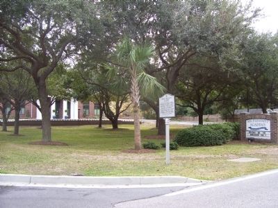
Location. 32° 46.855′ N, 79° 51.832′ W. Marker is in Mount Pleasant, South Carolina, in Charleston County. Marker is on Center Street. Between Short and Simmons Streets. Touch for map. Marker is in this post office area: Mount Pleasant SC 29464, United States of America. Touch for directions.
Other nearby markers. At least 8 other markers are within walking distance of this marker. Edmund Jenkins / Ocean Grove Cemetery (approx. 0.3 miles away); Pierates Cruze / Pierates Cruze Gardens
Credits. This page was last revised on June 16, 2016. It was originally submitted on November 16, 2010. This page has been viewed 527 times since then and 19 times this year. Photos: 1, 2, 3, 4. submitted on November 16, 2010. • Bill Pfingsten was the editor who published this page.


