Near Doņa Ana in Doņa Ana County, New Mexico — The American Mountains (Southwest)
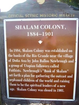
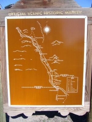
Shalam Colony
1884-1901
Topics. This historical marker is listed in these topic lists: Churches & Religion • Settlements & Settlers. A significant historical year for this entry is 1884.
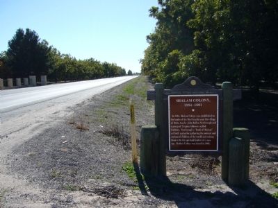
Location. 32° 23.017′ N, 106° 50.433′ W. Marker is near Doņa Ana, New Mexico, in Doņa Ana County. Marker is at the intersection of State Road 185 at milepost 5.5 and Shalam Colony Trail, on the right when traveling south on State Road 185. Touch for map. Marker is in this post office area: Dona Ana NM 88032, United States of America. Touch for directions.
Other nearby markers. At least 8 other markers are within 7 miles of this marker, measured as the crow flies. Bartlett Garcia (approx. 0.9 miles away); Doņa Ana (approx. 0.9 miles away); Doņa Ana (16041680) (approx. 1.9 miles away); Rio Grande (approx. 5.1 miles away); The Branigan Building (approx. 6 miles away); Las Cruces Railroad Depot (approx. 6 miles away); The Santa Fe Railroad Depot (approx. 6.1 miles away); Rio Grande Theatre (approx. 6.2 miles away). Touch for a list and map of all markers in Doņa Ana.
Credits. This page was last revised on March 21, 2020. It was originally submitted on November 19, 2010, by Bill Kirchner of Tucson, Arizona. This page has been viewed 2,205 times since then and 288 times this year. Photos: 1, 2, 3. submitted on November 19, 2010, by Bill Kirchner of Tucson, Arizona. • Craig Swain was the editor who published this page.


