Near Catherine in Wilcox County, Alabama — The American South (East South Central)
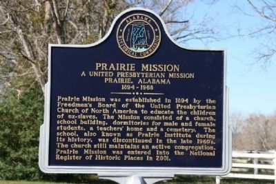
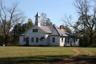
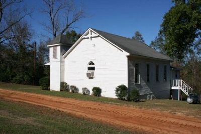
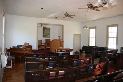
Prairie Mission
A United Presbyterian Mission
— Prairie, Alabama 1894-1968 —
Erected by Alabama Historical Commission.
Topics and series. This historical marker is listed in these topic lists: African Americans • Churches & Religion • Education. In addition, it is included in the Alabama Historical Commission series list. A significant historical year for this entry is 1894.
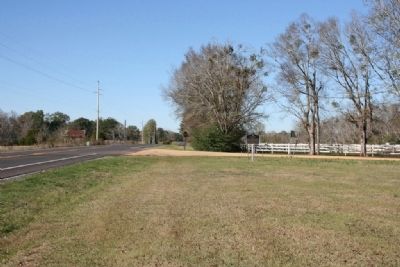
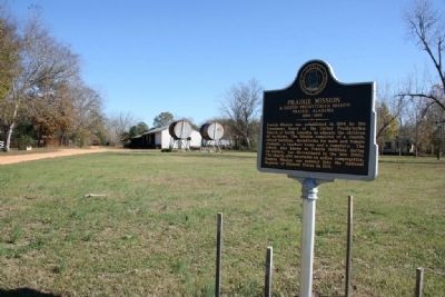
Location. 32° 8.552′ N, 87° 25.927′ W. Marker is near Catherine, Alabama, in Wilcox County. Marker is at the intersection of State Highway 28 and McCall Road (Prairie Mission Road), on the right when traveling west on State Highway 28. Touch for map. Marker is in this post office area: Catherine AL 36728, United States of America. Touch for directions.
Other nearby markers. At least 8 other markers are within 13 miles of this marker, measured as the crow flies. Postal Routes of 1820 (approx. 2 miles away); The Founding of Gee's Bend / Boykin Mercantile Store in Gee's Bend (approx. 9.9 miles away); Bessie W. Munden Recreational Park (approx. 11˝ miles away); Bethel Hill Missionary Baptist Church (approx. 12.4 miles away); Bethel Baptist Church & Cemetery (approx. 12.6 miles away); Confederate Dead of Wilcox County (approx. 13 miles away); Wilcox Female Institute (approx. 13 miles away); Camden (approx. 13 miles away).
Credits. This page was last revised on June 16, 2016. It was originally submitted on November 28, 2010, by Timothy Carr of Birmingham, Alabama. This page has been viewed 1,419 times since then and 36 times this year. Photos: 1, 2, 3, 4, 5, 6. submitted on November 28, 2010, by Timothy Carr of Birmingham, Alabama. • Bill Pfingsten was the editor who published this page.
