Gov. Heardís Home
õõó→
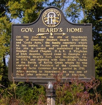
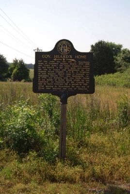
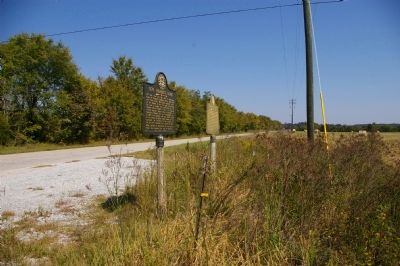
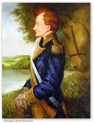
Off this road lies the site of Heardmont, home of Governor Stephen Heard, 1740 - 1815 and “Godís Acre,” the family cemetery where he lies buried. A ten acre park surrounding the site is owned and maintained by the Stephen Heard Chapter, D.A.R. A Virginian of Irish descent, Heard came to Georgia, establishing Heardís Fort, now Washington, Ga., in 1773, and fighting with Elijah Clarke at the Battle of Kettle Creek where he was was captured. As President of the Council, he was de facto Governor for a period in 1781.
After moving to Heardmont, he was one of three who settled the site of Elberton.
Erected 1955 by Georgia Historical Commission. (Marker Number 052-4.)
Topics and series. This historical marker is listed in these topic lists: Patriots & Patriotism • War, US Revolutionary. In addition, it is included in the Georgia Historical Society series list. A significant historical year for this entry is 1740.
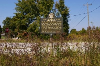
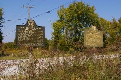
Location. 34° 4.397′ N, 82° 44.65′ W. Marker is near Elberton, Georgia, in Elbert County. Marker is at the intersection of Pearl Mill Road and Calhoun Falls Highway (Georgia Highway 72), on the left when traveling east on Pearl Mill Road. Touch for map. Marker is in this post office area: Elberton GA 30635, United States of America. Touch for directions.
Other nearby markers. At least 10 other markers are within 8 miles of this
Also see . . .
1. Stephen Heard. New Georgia Encyclopedia website entry (Submitted on December 1, 2010, by David Seibert of Sandy Springs, Georgia.)
2. Stephen Heard. Wikipedia entry:
Stephen Heard (November 1, 1740 Ė November 15, 1815) was briefly the 12th Governor of Georgia from when he was appointed on February 18, 1780 until Nathan Brownson was elected the tenth Governor of Georgia in August 1781 (Myrick Davies served as president of the council in 1781 and is listed by some as de facto chief executive for some period of time). (Submitted on May 9, 2012, by Brian Scott of Anderson, South Carolina.)
3. Battle of Kettle Creek. Wikipedia entry:
The Battle of Kettle Creek (February 14, 1779) was a major encounter in the back country of Georgia during the American Revolutionary War. (Submitted on December 10, 2012, by Brian Scott of Anderson, South Carolina.)
4. Elijah Clarke. Wikipedia entry:
Elijah Clarke (1733 Ė December 15, 1799), born in Anson County, North Carolina, was a Continental Army officer and hero of the American Revolutionary War serving in the southern theater. (Submitted on December 10, 2012, by Brian Scott of Anderson, South Carolina.)
Credits. This page was last revised on October 9, 2021. It was originally submitted on November 30, 2010, by David Seibert of Sandy Springs, Georgia. This page has been viewed 1,542 times since then and 55 times this year. Photos: 1. submitted on November 30, 2010, by David Seibert of Sandy Springs, Georgia. 2. submitted on December 10, 2012, by Brian Scott of Anderson, South Carolina. 3, 4, 5, 6. submitted on November 30, 2010, by David Seibert of Sandy Springs, Georgia. • Bill Pfingsten was the editor who published this page.
