Maxie in Forrest County, Mississippi — The American South (East South Central)
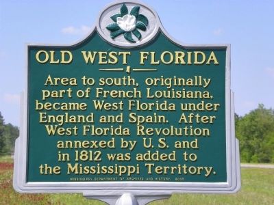
Old West Florida
Erected 2005 by Mississippi Department of Archives and History.
Topics and series. This historical marker is listed in this topic list: Settlements & Settlers. In addition, it is included in the Mississippi State Historical Marker Program series list. A significant historical year for this entry is 1812.
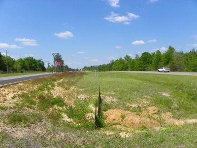
Location. 31° 0.02′ N, 89° 12.071′ W. Marker is in Maxie, Mississippi, in Forrest County. Marker is on U.S. 49, ¾ mile north of Newton Field Road, in the median. Touch for map. Marker is in this post office area: Brooklyn MS 39425, United States of America. Touch for directions.
Other nearby markers. At least 8 other markers are within 11 miles of this marker, measured as the crow flies. Forrest County Agricultural High School (approx. 4.9 miles away); John Wesley Fairley (approx. 8.9 miles away); Stone County (approx. 9½ miles away); Jay Hanna "Dizzy" Dean (approx. 9½ miles away); Flint Creek Post Office (approx. 10.1 miles away); Gulf and Ship Island Railroad Depot (approx. 10.3 miles away); "The Harvey Battle" (approx. 10.3 miles away); City of Wiggins (approx. 10.4 miles away).
Credits. This page was last revised on June 16, 2016. It was originally submitted on December 15, 2010, by Stephen Bell of Biloxi, Mississippi. This page has been viewed 1,811 times since then and 171 times this year. Photos: 1, 2. submitted on December 15, 2010, by Stephen Bell of Biloxi, Mississippi. • Bill Pfingsten was the editor who published this page.

