Whites Creek in Nashville in Davidson County, Tennessee — The American South (East South Central)
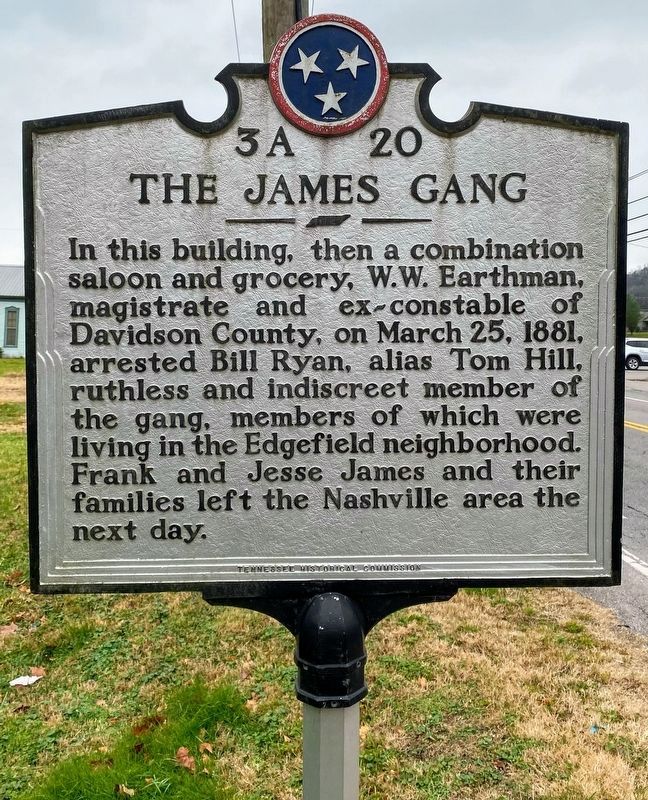
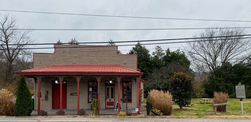
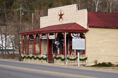
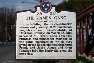
The James Gang
Erected by Tennessee Historical Commission. (Marker Number 3A 20.)
Topics and series. This historical marker is listed in these topic lists: Industry & Commerce • Settlements & Settlers. In addition, it is included in the Jesse James, and the Tennessee Historical Commission series lists. A significant historical month for this entry is March 1934.
Location. 36° 15.89′ N, 86° 49.845′ W. Marker is in Nashville, Tennessee, in Davidson County. It is in Whites Creek. Marker is on Whites Creek Pike (U.S. 431) 0.1 miles south of Old Hickory Blvd., on the right when traveling north. Touch for map. Marker is in this post office area: Whites Creek TN 37189, United States of America. Touch for directions.
Other nearby markers. At least 8 other markers are within 5 miles of this marker, measured as the crow flies. White’s Creek and the War (approx. 0.6 miles away); Alexander Little Page Green (approx. ¾ mile away); Captain Alexander "Devil Alex" Ewing (approx. 2.1 miles away); Frederick Stump (approx. 2.3 miles away); Enchanted Hills (approx. 4.2 miles away); Hyde's Ferry Turnpike (approx. 4.3 miles away); Haynes High School (approx. 4.6 miles away); Abner T. Shaw House (approx. 4.6 miles away). Touch for a list and map of all markers in Nashville.
Additional keywords. Jesse James, outlaws and renegades
Credits. This page was last revised on February 7, 2023. It was originally submitted on December 21, 2010, by Paul Landry of Nashville, Tennessee. This page has been viewed 3,015 times since then and 198 times this year. Photos: 1, 2. submitted on December 26, 2021, by Shane Oliver of Richmond, Virginia. 3, 4. submitted on December 21, 2010, by Paul Landry of Nashville, Tennessee. • Bill Pfingsten was the editor who published this page.


