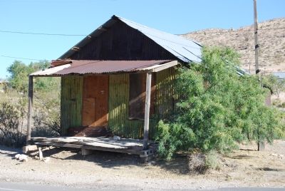
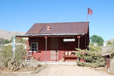
Goodsprings in Clark County, Nevada — The American Mountains (Southwest)
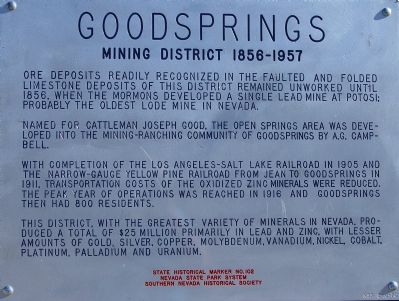
Goodsprings Mining District 1856 - 1957
Named for cattleman Joseph Good, the open springs area was developed into the mining-ranching community of Goodsprings by A.G. Campbell.
With completion of the Los Angeles-Salt Lake Railroad in 1905 and the narrow-gauge Yellow Pine Railroad from Jean to Goodsprings in 1911, transportation costs of the oxidized zinc minerals were reduced. The peak year of operations was reached in 1916, and Goodsprings then had 800 residents.
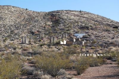
This district, with the greatest variety of valuable minerals in Nevada, produced a total of $25 million primarily in lead and zinc, with lesser amounts of gold, silver, copper, molybdenum, vanadium, nickel, cobalt, platinum, palladium and uranium.
Erected 1970 by Nevada State Park System and Southern Nevada Historical Society. (Marker Number 102.)
Topics. This historical marker is listed in this topic list: Natural Resources. A significant historical year for this entry is 1856.
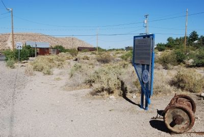
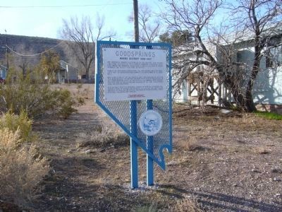
Location. 35° 49.935′ N, 115° 26.058′ W. Marker is in Goodsprings, Nevada, in Clark County. Marker is on Spring Street, 0.1 miles west of Vegas Street, on the left when traveling west. Touch for map. Marker is in this post office area: Jean NV 89019, United States of America. Touch for directions.
Other nearby markers. At least 8 other markers are within 10 miles of this marker, measured as the crow flies. Good's Spring (about 400 feet away, measured in a direct line); The Pioneer Saloon (about 700 feet away); Jean, Nevada (approx. 7.1 miles away); The Arrowhead Trail Highway (approx. 7.1 miles away); The Yellow Pine Mining Company Railroad (approx. 7.1 miles away); The Last Spike (approx. 8.3 miles away); a different marker also named The Last Spike (approx. 9 miles away); Sandy Valley (approx. 9.8 miles away). Touch for a list and map of all markers in Goodsprings.
Also see . . . New Amended Text for Marker. The Nevada State Historic Preservation Office (SHPO) recently updated the text of the roughly 260 state historical markers in Nevada. The Nevada SHPO placed the amended text of each individual marker on its website and will change the actual markers in the field as funding allows. Minor changes have been made to this marker for grammar and readability. The link will take you to the Nevada SHPO page for the marker with the amended text. (Submitted on October 25, 2013, by Duane Hall of Abilene, Texas.)
Additional keywords. San Pedro, Los Angeles Salt Lake Railroad Company, the Salt Lake Route.
Credits. This page was last revised on October 22, 2020. It was originally submitted on June 24, 2007, by Dawn Bowen of Fredericksburg, Virginia. This page has been viewed 2,957 times since then and 35 times this year. Last updated on January 5, 2011, by Bill Kirchner of Tucson, Arizona. Photos: 1, 2. submitted on June 24, 2007, by Dawn Bowen of Fredericksburg, Virginia. 3. submitted on January 5, 2011, by Bill Kirchner of Tucson, Arizona. 4, 5, 6. submitted on June 24, 2007, by Dawn Bowen of Fredericksburg, Virginia. • Syd Whittle was the editor who published this page.
