Birmingham Township near West Chester in Chester County, Pennsylvania — The American Northeast (Mid-Atlantic)
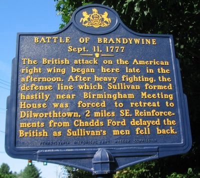
Battle of Brandywine
Sept. 11, 1777
Erected by Pennsylvania Historical and Museum Commission.
Topics and series. This historical marker is listed in this topic list: War, US Revolutionary. In addition, it is included in the Pennsylvania Historical and Museum Commission series list.
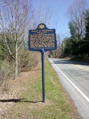
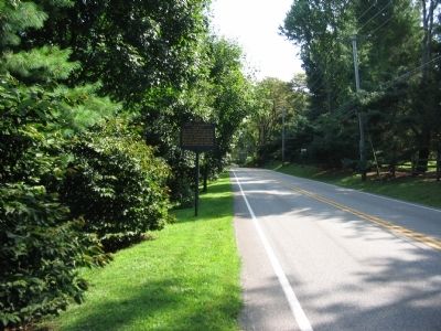
Location. 39° 54.614′ N, 75° 35.892′ W. Marker is near West Chester, Pennsylvania, in Chester County. It is in Birmingham Township. Marker is at the intersection of West Street Road (State Highway 926) and South Birmingham Road, on the right when traveling west on West Street Road. Touch for map. Marker is at or near this postal address: 1201 Candy Ln, West Chester PA 19382, United States of America. Touch for directions.
Other nearby markers. At least 8 other markers are within walking distance of this marker. Gen's Lafayette and Pulaski (approx. 0.3 miles away); The Peace Garden at Birmingham (approx. 0.4 miles away); Birmingham Friends Meeting House (approx. 0.4 miles away); The Friends School at Birmingham Meeting House (approx. 0.4 miles away); On This Native Stone (approx. 0.4 miles away); In Memory of Those Who Fell (approx. 0.4 miles away); First Defense Line (approx. 0.4 miles away); General Stephen's Stand Sept. 11, 1777 (approx. 0.4 miles away). Touch for a list and map of all markers in West Chester.
Also see . . . Battle of Brandywine (British Attack) - Behind the Marker. ExplorePAHistory.com (Submitted on July 14, 2011, by Mike Wintermantel of Pittsburgh, Pennsylvania.)
Credits. This page was last revised on February 7, 2023. It was originally submitted on January 9, 2011, by Craig Swain of Leesburg, Virginia. This page has been viewed 1,256 times since then and 14 times this year. Photos: 1. submitted on January 9, 2011, by Craig Swain of Leesburg, Virginia. 2. submitted on March 29, 2011, by Keith S Smith of West Chester, Pennsylvania. 3. submitted on January 9, 2011, by Craig Swain of Leesburg, Virginia.


