Bowling Green in Warren County, Kentucky — The American South (East South Central)
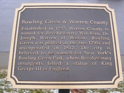
Bowling Green & Warren County
Topics. This historical marker is listed in this topic list: Settlements & Settlers. A significant historical year for this entry is 1797.
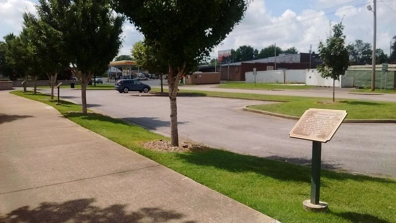
Location. 37° 0.073′ N, 86° 25.873′ W. Marker is in Bowling Green, Kentucky, in Warren County. Marker is at the intersection of Riverview Drive (U.S. 31W) and College Street, on the right when traveling north on Riverview Drive. Touch for map. Marker is in this post office area: Bowling Green KY 42101, United States of America. Touch for directions.
Other nearby markers. At least 8 other markers are within walking distance of this marker. The Barren River (a few steps from this marker); The Bridge (a few steps from this marker); The Limestone Bluffs (within shouting distance of this marker); Western Kentucky University (within shouting distance of this marker); The Civil War in Bowling Green (within shouting distance of this marker); College Street Bridge (within shouting distance of this marker); Defending the L&N Railroad (about 300 feet away, measured in a direct line); Shake Rag (approx. 0.2 miles away). Touch for a list and map of all markers in Bowling Green.
Credits. This page was last revised on November 30, 2019. It was originally submitted on January 12, 2011, by Chad Comer of Gamaliel, Kentucky. This page has been viewed 704 times since then and 25 times this year. Photos: 1. submitted on January 12, 2011, by Chad Comer of Gamaliel, Kentucky. 2, 3. submitted on November 30, 2019, by Tom Bosse of Jefferson City, Tennessee. • Craig Swain was the editor who published this page.


