Cranberry Township in Butler County, Pennsylvania — The American Northeast (Mid-Atlantic)
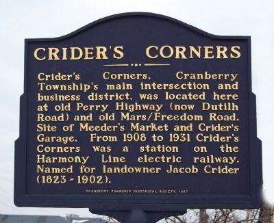
Crider's Corners
Erected 1997 by Cranberry Township Historical Society.
Topics. This historical marker is listed in these topic lists: Industry & Commerce • Railroads & Streetcars. A significant historical year for this entry is 1908.
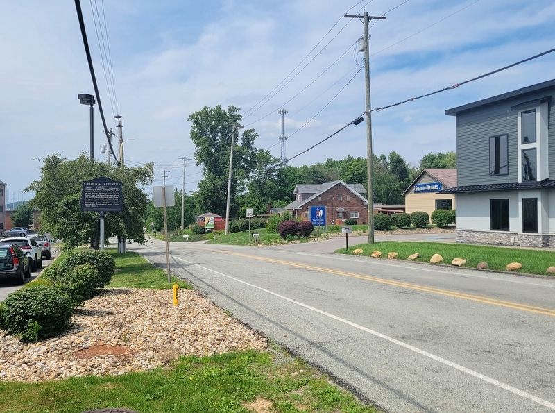
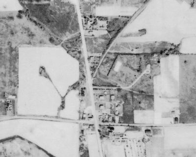
Location. 40° 41.122′ N, 80° 6.033′ W. Marker is in Cranberry Township, Pennsylvania, in Butler County. Marker is on Dutilh Road, 0.1 miles north of Freedom Road (Pennsylvania Route 228), on the left when traveling north. Touch for map. Marker is at or near this postal address: 83 Dutilh Road, Cranberry Township PA 16066, United States of America. Touch for directions.
Other nearby markers. At least 8 other markers are within 5 miles of this marker, measured as the crow flies. Ogle (approx. 1.1 miles away); Venango Path (approx. 1.3 miles away); Elias Fry Barn (approx. 2.1 miles away); Cranberry Township Veterans Memorial (approx. 2˝ miles away); 1806 Plains Presbyterian Church (approx. 2.8 miles away); Borough of Bradford Woods (approx. 3˝ miles away); Saint Matthew's Church (approx. 4.7 miles away); USS Mars AFS-1 Ships Bell (approx. 4.8 miles away). Touch for a list and map of all markers in Cranberry Township.
Also see . . . Cranberry Township Historical Society. (Submitted on July 7, 2011, by Mike Wintermantel of Pittsburgh, Pennsylvania.)
Credits. This page was last revised on July 8, 2023. It was originally submitted on February 27, 2011, by Mike Wintermantel of Pittsburgh, Pennsylvania. This page has been viewed 2,883 times since then and 229 times this year. Photos: 1. submitted on February 27, 2011, by Mike Wintermantel of Pittsburgh, Pennsylvania. 2. submitted on July 8, 2023, by Bradley Owen of Morgantown, West Virginia. 3. submitted on January 28, 2016. • Bernard Fisher was the editor who published this page.


