Franklinton in Franklin County, North Carolina — The American South (South Atlantic)
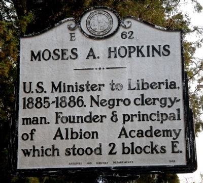
Moses A. Hopkins
Erected 1959 by Archives and Highway Departments. (Marker Number E-62.)
Topics and series. This historical marker is listed in these topic lists: African Americans • Churches & Religion • Education • Government & Politics. In addition, it is included in the North Carolina Division of Archives and History series list.
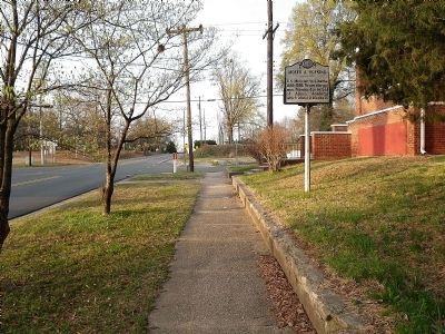
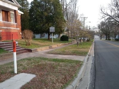
Location. 36° 5.987′ N, 78° 27.542′ W. Marker is in Franklinton, North Carolina, in Franklin County. Marker is at the intersection of S. Main Street and W. College Street, on the right when traveling south on S. Main Street. Touch for map. Marker is at or near this postal address: 2 W College St, Franklinton NC 27525, United States of America. Touch for directions.
Other nearby markers. At least 8 other markers are within 9 miles of this marker, measured as the crow flies. Wake Forest College Birthplace (approx. 8.4 miles away); C.C. Crittenden (approx. 8˝ miles away); The Glass House (approx. 8˝ miles away); Kittrell’s Springs (approx. 8.6 miles away); Confederate Cemetery (approx. 8.6 miles away); Green Hill Place (approx. 8.6 miles away); John Williamson (approx. 8.6 miles away); Kittrell College (approx. 8.7 miles away).
Also see . . . Moses A. Hopkins - Wikipedia. (Submitted on March 23, 2011, by Bill Pfingsten of Bel Air, Maryland.)
Credits. This page was last revised on May 9, 2023. It was originally submitted on March 20, 2011, by John Zadrozny of Youngsville, North Carolina. This page has been viewed 699 times since then and 15 times this year. Last updated on May 8, 2023, by Michael Buckner of Durham, North Carolina. Photos: 1, 2, 3. submitted on March 20, 2011, by John Zadrozny of Youngsville, North Carolina. • J. Makali Bruton was the editor who published this page.


