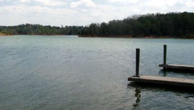
Calhoun Falls in Abbeville County, South Carolina — The American South (South Atlantic)
Welcome to Calhoun Falls State Recreation Area
Inscription.
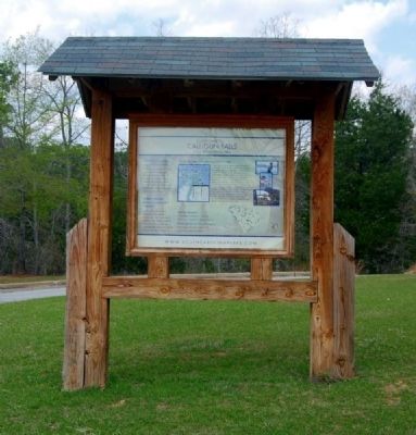
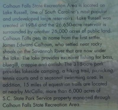
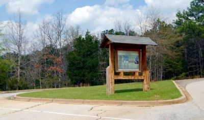
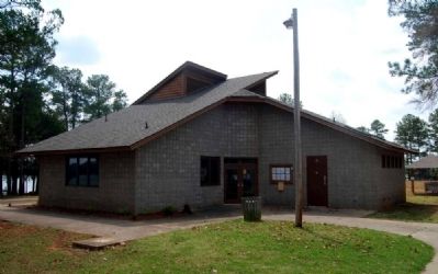
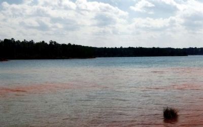
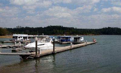
Calhoun Falls State Recreation Area is located on Lake Russell, one of South Carolina's most popular and undeveloped large reservoirs. Lake Russell was created in 1984 and the 26,650-acre reservoir is surrounded by another 26,000 acres of public land. Calhoun Falls gets its name form the first settler, James Edward Calhoun, who settled near rocky shoals on the Savannah River that are now under the lake. The lake provides excellent fishing for bass, bluegill, crappie and catfish. The 318-acre park provides lakeside camping, a hiking trail, picnicking tennis courts and a seasonal swimming area. In addition, 15 miles of equestrian trails are located at nearby McCalla, more than 6,000 acres of S.C. State Park Service property managed through Calhoun Falls State Recreation Area.
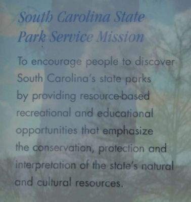
South Carolina State Park Service Mission
To encourage people to discover South Carolina's state parks by providing resource-based recreational and educational opportunities that emphasize the conservation, protection and interpretation of the state's natural and cultural resources.
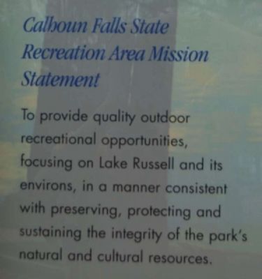
Calhoun Falls State Recreation Area Mission Statement
To provide quality outdoor recreational opportunities, focusing on Lake Russell and its environs, in a manner consistent with preserving, protecting and sustaining the integrity of the park's natural and cultural resources.
Erected by South Carolina State Park Service.
Topics. This historical marker is listed in this topic list: Natural Resources. A significant historical year for this entry is 1984.
Location. 34° 6.058′ N, 82° 37.167′ W. Marker is in Calhoun Falls, South Carolina, in Abbeville County. Marker is on Camp Shop Road, on the right when traveling south. Marker is located near the camp's shop. Touch for map. Marker is in this post office area: Calhoun Falls SC 29628, United States of America. Touch for directions.
Other nearby markers. At least 10 other markers are within 8 miles of this marker, measured as the crow flies. Calhoun Falls World War I and II Veterans Monument (approx. 1.4 miles away); Olin D. Johnston Memorial Boulevard (approx. 2.3 miles away); Millwood (approx. 2.3 miles away); Colonists’ Crossing (approx. 3.3 miles away in Georgia); Bethlehem Methodist Church (approx. 4˝ miles away in Georgia); Richard B. Russell Dam (approx. 5.6 miles away); Bartlett Tucker Family Cemetery (approx. 6.7 miles away); "Old Dan Tucker" (approx. 7.4 miles away in Georgia); Gov. Heard’s Home (approx. 7.4 miles away in Georgia); Harpers Ferry Drowning (approx. 7.7 miles away). Touch for a list and map of all markers in Calhoun Falls.
Also see . . .
1. Richard B. Russell Lake. Richard B. Russell Lake (known to locals
as simply "Lake Russell") is a reservoir created by the construction of Richard B. Russell Dam on the Savannah River bordering Elbert County, Georgia and Abbeville and Anderson counties in South Carolina. (Submitted on April 5, 2011, by Brian Scott of Anderson, South Carolina.)
2. Calhoun Falls, South Carolina. Calhoun Falls is a town in Abbeville County, South Carolina, United States. (Submitted on April 4, 2011, by Brian Scott of Anderson, South Carolina.)
Credits. This page was last revised on October 12, 2020. It was originally submitted on April 4, 2011, by Brian Scott of Anderson, South Carolina. This page has been viewed 1,152 times since then and 38 times this year. Photos: 1, 2, 3, 4, 5, 6, 7, 8, 9. submitted on April 4, 2011, by Brian Scott of Anderson, South Carolina.
