Hinesville in Liberty County, Georgia — The American South (South Atlantic)
Old Liberty County Jail
Photographed by Lee Hattabaugh, February 18, 2011
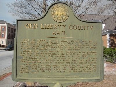
1. Old Liberty County Jail Marker
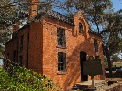
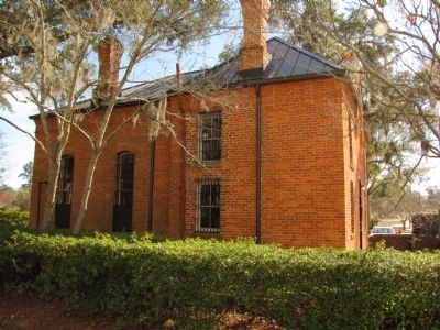
Although there is not record of its construction or its architect, it is known that the contractor, a Mr. Parkhill, had completed the two-story, three-bay brick structure by October 1892.
The interior of the jail is divided by a brick wall into two sections housing a bull-pen (or drunk tank) and two cells downstairs and two cells and the upper part of the bull-pen upstairs.
A new county jail was opened in 1969 and the Old Jail was sold at auction on March 3, 1970 to the Liberty County Historical Society, which eventually donated the building to the City of Hinesville. The Old Jail is now on the National Register of Historic Places.
Erected 1998 by The Liberty County Historical Society.
Topics. This historical marker is listed in this topic list: Notable Buildings. A significant historical month for this entry is March 1895.
Location. 31° 50.736′ N,
this page online

Regionally, this marker is on the Coastal Plain and on the Georgia Coast and the Golden Isles. It is also in the American South, specifically in the Deep South, and on the Eastern Seaboard. Globally, it is in the North Atlantic Region, North America, the Western Hemisphere, the Western World, and the Anglosphere. Historically, it finds itself in what was once New Spain, the territory of the Mississippian Culture, one of the original Thirteen Colonies, one of the Confederate States of America, and the Antebellum South.
Other nearby markers. At least 8 other markers are within walking distance of this marker: Bradwell Park (about 600 feet away, measured in a direct line); Fort Morris Cannon (approx. 0.2 miles away); Liberty County (approx. 0.2 miles away); Liberty County Confederate Monument
Photographed by Lee Hattabaugh, February 18, 2011
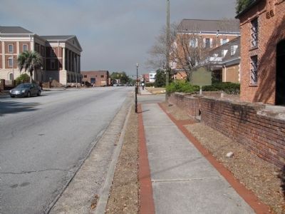
2. Old Liberty County Jail Marker
Looking North on Main Street.
Photographed by Lee Hattabaugh, February 18, 2011
3. Old Liberty County Jail Marker
Photographed by Lee Hattabaugh, February 18, 2011
4. Old Liberty County Jail
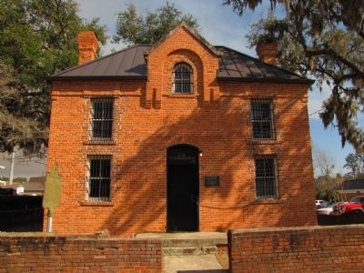
Photographed by Lee Hattabaugh, February 18, 2011
5. Old Liberty County Jail
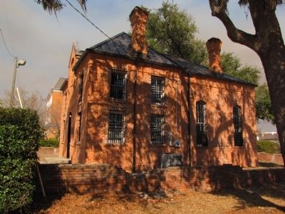
Photographed by Lee Hattabaugh, February 18, 2011
6. Old Liberty County Jail
south side of the jail and its surrounding wall
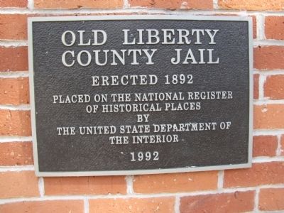
Photographed by Lee Hattabaugh, February 18, 2011
7. Old Liberty County Jail NRHP plaque
Photographed by Lee Hattabaugh, February 18, 2011
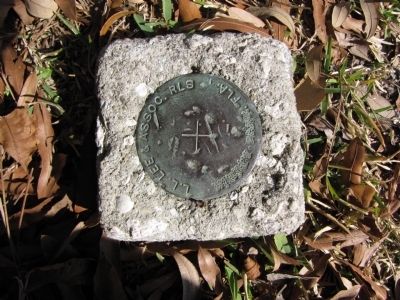
8. Survey Marker
located near the old jail. it appears that the location information has been stippled out.
Credits. This page was last revised on June 16, 2016. It was originally submitted on April 14, 2011, by Lee Hattabaugh of Capshaw, Alabama. This page has been viewed 1,467 times since then and 53 times this year. Photos: 1, 2, 3, 4, 5, 6, 7, 8. submitted on April 14, 2011, by Lee Hattabaugh of Capshaw, Alabama. • Bernard Fisher was the editor who published this page.
